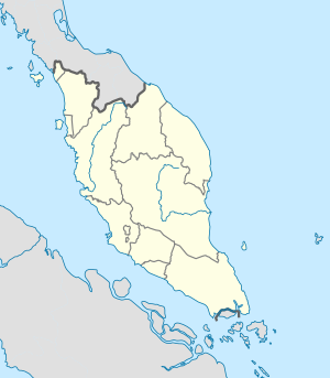
North–South Expressway, Malaysia
| North–South Expressway | |
|---|---|
| [[File:
|290px|alt=]]
Route of the North-South Expressway
|
|
| Route information | |
| Part of |
|
| Maintained by PLUS Malaysia Berhad with its subsidiary Projek Lebuhraya Usahasama Berhad (Former concessionaries known as Projek Lebuhraya Utara Selatan Berhad (PLUS)) |
|
| Length: | 772 km (480 mi) |
| Existed: | 1981 – present |
| History: | Completed in 1994 |
| Major junctions | |
| North end: | Bukit Kayu Hitam, Kedah |
|
(Penang Second Bridge) |
|
| South end: | Johor Bahru, Johor |
| Location | |
| Major cities: | Alor Setar-Butterworth-Ipoh-Kuala Lumpur-Johor Bahru |
| Highway system | |
The North–South Expressway (NSE) (Malay: Lebuhraya Utara-Selatan; Jawi: ليبوهراي اوتارا-سلتن; Chinese: 南北大道, Tamil: வடக்கு-தெற்கு விரைவுசாலை) is the longest controlled-access expressway in Malaysia with the total length of about 772 km (480 mi) running from Bukit Kayu Hitam in Kedah near the Malaysian-Thai border (connects with Phetkasem Road (Route 4) in Thailand) to Johor Bahru at the southern portion of Peninsular Malaysia and to Singapore. The expressway links many major cities and towns in western Peninsular Malaysia, acting as the 'backbone' of the west coast of the peninsula. It is also known as PLUS Expressway, named after the highway's concessionaire, Projek Lebuhraya Utara Selatan Berhad (North South Expressway Project; abbreviated as PLUS. The company has changed its name to Projek Lebuhraya Usahasama Berhad (PLUS), which is a subsidiary of PLUS Malaysia Berhad (PMB).
...
Wikipedia


