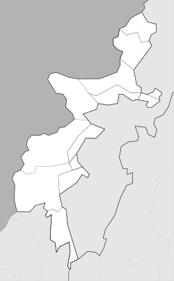
Wana (Pakistan)
|
Wana وانہ Wanna |
|
|---|---|
| Coordinates: 32°18′18″N 69°35′20″E / 32.30500°N 69.58889°ECoordinates: 32°18′18″N 69°35′20″E / 32.30500°N 69.58889°E | |
| Country |
|
| Province |
|
| Tribal Agency | South Waziristan |
| Elevation | 1,387 m (4,551 ft) |
| Time zone | PST (UTC+5) |
Wanna (Pashto: وانہ wāṇə; Wazirwola pronunciation: woṇə) or Wana is the largest town of South Waziristan Agency in Pakistan's Federally Administered Tribal Areas (FATA). It is the summer headquarters for the Agency's administration, Tank located in the neighbouring Tank District of Khyber Pakhtunkhwa province being the winter headquarters.
During the British Empire period, beginning in the late 19th century, the British established a cantonment on the Wanna Plain which was used as a headquarters by the British forces in South Waziristan until they departed India after the partition in 1947. During their rule, the ferocious Pushtun tribes of Waziristan - part of the Karlanri Tribal Confederation - gave the British much headache. In fact, the British, known then as the 'foreigners', had to deal with a full-fledged insurgency in Waziristan in the 1930s. At one point during the 1930s, the British had up to 18,000 troops in and around Waziristan, with Wanna being used as the forward headquarters and airbase.
It is currently in the eye of a storm because of the embedded presence of another set of foreigners (Al-Qaeda) who have affiliated themselves with the Taliban-aligned Ahmadzai Waziris of the Wanna Plain and others in the area . The Pakistan Armed forces have conducted armed operations against these Al-Qaeda members since August 2003 off and on with limited success. Perhaps the town's most violent incident in the War on Terror was the Battle of Wanna which took place in March 2004 and included fighters from the Pakistani Army against Al-Qaeda and Taliban forces. More than 100 armed personnel were killed during the week of the fighting.
...
Wikipedia


