Tehama County
| Tehama County, California | ||||||
|---|---|---|---|---|---|---|
| County | ||||||
| County of Tehama | ||||||
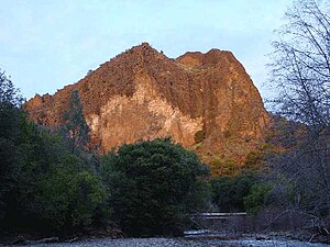
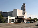
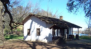
Images, from top down, left to right: Black Rock in the Ishi Wilderness, State Theatre in Red Bluff, Park Headquarters in Lassen Volcanic National Park, front of the William B. Ide Adobe
|
||||||
|
||||||
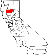
 Location in the U.S. state of California |
||||||
 California's location in the United States |
||||||
| Country |
|
|||||
| State |
|
|||||
| Region | Shasta Cascade | |||||
| Incorporated | 1856 | |||||
| Seat | Red Bluff | |||||
| Largest city | Red Bluff | |||||
| Area | ||||||
| • Total | 7,670 km2 (2,962 sq mi) | |||||
| • Land | 7,600 km2 (2,950 sq mi) | |||||
| • Water | 30 km2 (12 sq mi) | |||||
| Population (April 1, 2010) | ||||||
| • Total | 63,463 | |||||
| • Estimate (2015) | 63,308 | |||||
| • Density | 8.3/km2 (21/sq mi) | |||||
| Time zone | Pacific Standard Time (UTC-8) | |||||
| • Summer (DST) | Pacific Daylight Time (UTC-7) | |||||
| Website | www.co.tehama.ca.us | |||||
Tehama County (/təˈheɪmə/ tə-HAY-mə) is a county located in the northern part of the U.S. state of California. As of the 2010 census, the population was 63,463. The county seat and largest city is Red Bluff.
Tehama County comprises the Red Bluff, CA Micropolitan Statistical Area, which is also included in the Redding-Red Bluff, CA Combined Statistical Area. The county is bisected by the Sacramento River.
Tehama County was formed from parts of Butte, Colusa, and Shasta Counties in 1856.
The county is named for the City of Tehama. The origin of the name is not known. Suggested possible roots are the Arabic word تهامة tehama ("hot low-lands"), the Spanish word tejamanil (shingle), or "high water" in the dialect of local Native Americans.
...
Wikipedia


