Djemila
|
جميلة (Arabic) Ğamila (Kabyle) |
|

Roman Theatre of Djémila
|
|
| Alternate name | Cuicul |
|---|---|
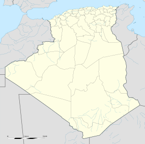
| Location | Sétif Province, Algeria |
| Coordinates | 36°19′N 5°44′E / 36.317°N 5.733°ECoordinates: 36°19′N 5°44′E / 36.317°N 5.733°E |
| Type | Settlement |
| History | |
| Founded | 1st century AD |
| Abandoned | 6th century AD |
| Periods | Roman Empire |
| Official name | Cuicul-Djémila |
| Type | Cultural |
| Criteria | iii, iv |
| Designated | 1982 (6th session) |
| Reference no. | 191 |
| State Party | Algeria |
| Region | Arab States |
جميلة (Arabic)
Djémila (Kabyle: Ğamila; Arabic: جميلة, the Beautiful one, Latin: Cuicul or Curculum), formerly Cuicul, is a small mountain village in Algeria, near the northern coast east of Algiers, where some of the best preserved Berbero-Roman ruins in North Africa are found. It is situated in the region bordering the Constantinois and Petite Kabylie (Basse Kabylie).
In 1982, Djémila became a UNESCO World Heritage Site for its unique adaptation of Roman architecture to a mountain environment. Significant buildings in ancient Cuicul include a theatre, two fora, temples, basilicas, arches, streets, and houses. The exceptionally well preserved ruins surround the forum of the Harsh, a large paved square with an entry marked by a majestic arch.
Under the name of Cuicul, the city was built at 900 meters of altitude during the 1st century AD as a Roman military garrison situated on a narrow triangular plateau in the province of Numidia. The terrain is somewhat rugged, being located at the confluence of two rivers.
Cuicul's builders followed a standard plan with a forum at the center and two main streets, the Cardo Maximus and the Decumanus Maximus, composing the major axes. The city was initially populated by a colony of Roman soldiers from Italy, and eventually grew to become a large trading market. The resources that contributed to the prosperity of the city were essentially agricultural (cereals, olive trees and farm).
...
Wikipedia

