Chaitén Volcano
| Chaitén | |
|---|---|

2003 photograph from the International Space Station.
The caldera is the circular feature visible in the lower part of the image. The town of Chaitén is to the top. (This image is aligned roughly southwest, around 220°.) |
|
| Highest point | |
| Elevation | 1,122 m (3,681 ft) |
| Coordinates | 42°49′58″S 72°38′45″W / 42.83278°S 72.64583°WCoordinates: 42°49′58″S 72°38′45″W / 42.83278°S 72.64583°W |
| Geography | |
| Location | Chile |
| Parent range | Andes |
| Geology | |
| Mountain type | Caldera |
| Volcanic belt | South Volcanic Zone |
| Last eruption | 2008 to 2011 |
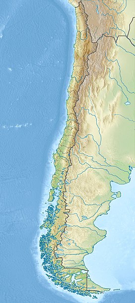
Chaitén is a volcanic caldera 3 kilometres (2 mi) in diameter, 17 kilometres (11 mi) west of the elongated ice-capped Michinmahuida volcano and 10 kilometres (6 mi) northeast of the town of Chaitén, near the Gulf of Corcovado in southern Chile. The most recent eruptive phase of the volcano erupted on 2008. Originally, radiocarbon dating of older tephra from the volcano suggested that its last previous eruption was in 7420 BC ± 75 years. However, recent studies have found that the volcano is more active than thought. According to the Global Volcanism Program, its last eruption is 1640 ± 18 years.
The caldera rim reaches 1,122 metres (3,681 ft) above sea level. Before the current eruption, it was mostly filled by a rhyolite obsidian lava dome that reached a height of 962 metres (3,156 ft), partly devoid of vegetation. Two small lakes occupied the caldera floor on the west and north sides of the lava dome.
The translucent grey obsidian which had erupted from the volcano was used by pre-Columbian cultures as a raw material for artifacts and has been found as far away as 400 kilometres (250 mi) to the south and north, for example in Chan-Chan.
The Chaitén volcano entered a new eruptive phase for the first time in about 9,500 years on the morning of May 2, 2008. The Chilean government began an evacuation of the nearby town of Chaitén (population 4,200) and the surrounding area the same day, the main phase of which was completed by May 3, 2008. One elderly person died while at sea en route to Puerto Montt. By the afternoon of May 3, the plume of ash from the eruption had spread across Chile and Argentina to the Atlantic Ocean, contaminating water supplies, and reportedly coating the town of Futaleufú located 75 kilometres (47 mi) southeast to a depth of 30 centimetres (12 in). Ash thickness estimates are often exaggerated during volcanic crises; later field investigations suggest that the average ash thickness deposited across Futaleufú was less than 5–10 cm (2–4 in).
...
Wikipedia

