Black Kettle National Grassland
| Black Kettle National Grassland | |
|---|---|
|
IUCN category VI (protected area with sustainable use of natural resources)
|
|

A homestead structure in Black Kettle National Grassland
|
|
|
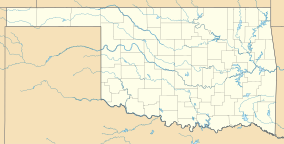
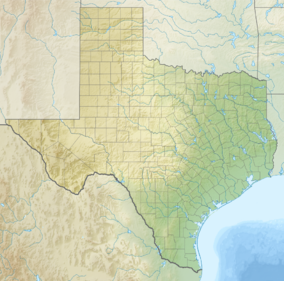
Location of the Black Kettle National Grassland
|
|
| Location | Roger Mills County, Oklahoma and Hemphill County, Texas, United States |
| Nearest city | Cheyenne, OK |
| Coordinates | 35°37′00″N 99°41′12″W / 35.6166°N 99.68655°WCoordinates: 35°37′00″N 99°41′12″W / 35.6166°N 99.68655°W |
| Area | 31,286 acres (12,661 ha) |
| Established | 1960 |
| Governing body | U.S. Forest Service |
| Website | Black Kettle and McClellan Creek National Grasslands |
The Black Kettle National Grassland is located in Roger Mills County, Oklahoma and Hemphill County, Texas. It contains 31,286 acres (12,661 ha) of which 30,710 acres (12,430 ha) are in Oklahoma.
The grassland is managed by the Cibola National Forest, which also manages the Rita Blanca National Grassland in Dallam County, Texas and Cimarron County, Oklahoma, and McClellan Creek National Grassland in Gray County, Texas.
The National Grassland consists of about 100 tracts of land interspaced with privately owned ranchland. It is located in the mixed grass prairie region. The terrain is characterized by sandy and red slate hills in addition to grassland and oak brush. The creek bottoms are wooded with cottonwood, elm, and hackberry. Wildlife includes white-tailed deer, turkey and quail. The Washita River flows through the grassland. It is a small stream here near its headwaters, only a few feet wide and shallow. The nearest town is Cheyenne where the Grassland headquarters is located.
This Black Kettle National Grassland was home to the Comanche and other nomadic Indian tribes who camped and hunted in the area, attracted by abundant water and wood and buffalo herds. In 1868 Lt. Col. George Armstrong Custer led an attack on a Cheyenne village here in what was called the Battle of the Washita. The Grassland is named for Black Kettle, the Indian leader killed in that attack. The area became part of the Cheyenne and Arapaho Indian reservation in 1867 and was opened to White settlement in 1892. Farmers enjoyed many years of good crops, especially wheat until the Dust Bowl years of the 1930s. “Poor conservation and agricultural practices, combined with periods of wind, drought, and rain stripped the area of its topsoil” and the government bought the land from bankrupt farmers. In 1938, the Soil Conservation Service began a replanting and restoration effort and in 1960 it was designated a national grassland. Today, the grassland is used for recreation, oil and gas production, and cattle grazing.
...
Wikipedia


