Avra Valley
| Avra Valley | |
| Valley | |
|
view of valley lands
Tucson Mountains, center east valley |
|
| Country | United States |
|---|---|
| State | Arizona |
| Region | (northeast) Sonoran Desert |
| Districts | Pima County, AZ, Pinal County, AZ |
| Borders on | West S. B. & Silver Bell Mountains NW Waterman Mountains W Roskruge Mountains SW Sierrita Mountains S Tucson Mountains E & I-10 NE |
| City | Marana, AZ NE Robles Junction, AZ–South Tucson, AZ |
| Coordinates | 32°13′16″N 111°20′31″W / 32.22119°N 111.34205°WCoordinates: 32°13′16″N 111°20′31″W / 32.22119°N 111.34205°W |
| Highest point | Cocoraque Butte |
| - location | (northeast)-Roskruge Mountains |
| - elevation | 2,758 ft (841 m) |
| - coordinates | 32°13′16″N 111°20′31″W / 32.22119°N 111.34205°W |
| Lowest point | Avra Valley Airport (north valley region) |
| - location | Marana, AZ |
| - elevation | 2,031 ft (619 m) |
| - coordinates | 32°24′34.40″N 111°13′06.20″W / 32.4095556°N 111.2183889°W |
| Length | 45 mi (72 km), NW-SE |
| Width | 10 mi (16 km), (7-12+mi variable) |
|
Avra Valley in Arizona
|
|
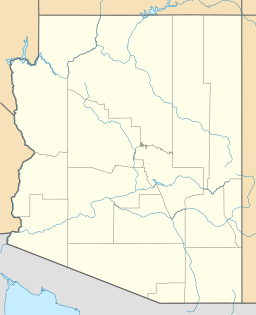
The Avra Valley is a 50-mile (80 km) long northwest-southeast valley, bordering the west of Tucson, Arizona. The Tucson Mountains are at the valley's center-east, with suburbs ranging east of the Tucson Mountains and trending northwest to the Avra Valley's northeast. This entire northwest stretch from Tucson contains the northwest trending Interstate 10, the route to Casa Grande and Phoenix. The northeast of the valley contains Marana on I-10, the Pinal Airpark, an aircraft storage park, and other communities along I-10. Avra Valley Airport is a general aviation airport in Marana, located about 15 miles (24 km) northwest of Tucson and being used for storage of classic propeller-era airliners.
The center-(west) of the valley is at Cocoraque Butte,32°13′16″N 111°20′31″W / 32.22119°N 111.34205°W, extended northeast from the Roskruge Mountains. Cocoraque Butte's height is 2,758 feet (841 m).
Avra Valley is a narrow valley, only about 10 miles wide in some locations, and bordered completely on the west by low elevation, arid mountain ranges. From the northwest, the mountains are the West Silver Bells, Silver Bell Mountains, Watermans, and then in the southwest the Roskruge Mountains. South of the Roskruge, Arizona Route 86 enters the valley from the Tohono O'odham Nation to the west. Robles Junction, Arizona, is also in the southwest, at the junction of the valley going southwest to Sasabe, the Altar Valley. Robles Junction is also at the northwest of the mountain range on Avra Valley's southern border, the Sierrita Mountains.
...
Wikipedia


