Wagah Town
|
Wagah واہگہ Wahga |
|
|---|---|
| Village | |

The evening flag lowering ceremony at the India–Pakistan international border near Wagah
|
|
 Map of the Wagah-Attari border region. |
|
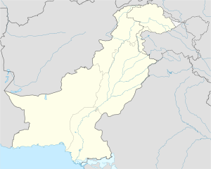
| Location in Pakistan | |
| Coordinates: 31°36′17″N 74°34′23″E / 31.60472°N 74.57306°ECoordinates: 31°36′17″N 74°34′23″E / 31.60472°N 74.57306°E | |
| Country |
|
| Province | Punjab |
| District | Lahore |
| Tehsil | Wagah Town |
| Time zone | PST (UTC+5) |
| • Summer (DST) | +6 (UTC) |
Wagah (Urdu: واہگہ, Punjabi: ਵਾਹਗਾ واہگہ) is a village situated in Lahore District, Punjab, Pakistan and serves as a goods transit terminal and a railway station between Pakistan and India, and lies on the old Grand Trunk Road between Lahore, Punjab, Pakistan and Amritsar, India. The border is located 24 kilometres (15 mi) from Lahore and 32 kilometres (20 mi) from Amritsar. It is also 3 kilometres (1.9 mi) from the bordering village of Attari.
Wagah, named Wahga in Pakistan, is a village near which the accepted Radcliffe Line, the boundary demarcation line dividing India and Pakistan upon the Partition of India, was drawn. The village lies 600 meters west of the border. At the time of independence in 1947, the migrants from the Indian parts of the subcontinent entered the present day Pakistan through this border crossing. The Wagah railway station lies 400 meters to the south and only 100 meters from the border. Indian side it is known as Atari.
...
Wikipedia

