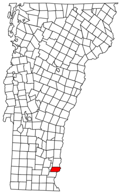
Putney, Vermont
| Putney, Vermont | |
|---|---|
| Town | |

Sacketts Brook in downtown Putney (2009)
|
|
 Putney, Vermont |
|
| Coordinates: 43°0′1″N 72°31′2″W / 43.00028°N 72.51722°WCoordinates: 43°0′1″N 72°31′2″W / 43.00028°N 72.51722°W | |
| Country | United States |
| State | Vermont |
| County | Windham |
| Area | |
| • Total | 26.8 sq mi (69.4 km2) |
| • Land | 26.8 sq mi (69.4 km2) |
| • Water | 0.0 sq mi (0.0 km2) |
| Elevation | 404 ft (123 m) |
| Population (2010) | |
| • Total | 2,702 |
| • Density | 98.3/sq mi (37.9/km2) |
| Time zone | Eastern (EST) (UTC-5) |
| • Summer (DST) | EDT (UTC-4) |
| ZIP code | 05346 |
| Area code(s) | 802 |
| FIPS code | 50-57700 |
| GNIS feature ID | 1462181 |
Putney is a town in Windham County, Vermont, United States. The population was 2,702 at the 2010 census.
The town's historic core makes up the Putney Village Historic District, which is listed on the National Register of Historic Places.
On December 26, 1753 Colonel Josiah Willard led a proprietors' petition for a Putney charter to be established in the Equivalent lands. The charter was to be issued by Governor Benning Wentworth – issuer of the New Hampshire Grants – under King George II of England that same day.
According to the United States Census Bureau, the town has a total area of 26.8 square miles (69.4 km2), of which 26.76 square miles (69.4 km2) is land and 0.04% is water. Putney Mountain is the highest point in the town, rising 1,657ft above sea level.
Putney is bordered by Dummerston to the south, Westminster to the north, and Brookline to the west. The Connecticut River serves as the eastern border of Putney, separating the town from Westmoreland, NH. Putney is approximately 10 miles north of Brattleboro, VT and 25 miles northwest of Keene, NH. US Route 5 and Interstate 91 both pass through Putney. Putney is accessible from Interstate 91 at Exit 4 near the border of Putney and Dummerston.
...
Wikipedia
