Ouyen
|
Ouyen Victoria |
|||||||||||||
|---|---|---|---|---|---|---|---|---|---|---|---|---|---|

Oke Street, the main street of Ouyen. The war memorial is in the foreground
|
|||||||||||||
| Coordinates | 35°04′0″S 142°19′0″E / 35.06667°S 142.31667°ECoordinates: 35°04′0″S 142°19′0″E / 35.06667°S 142.31667°E | ||||||||||||
| Population | 1,061 (2006 census) | ||||||||||||
| Established | 1906 | ||||||||||||
| Postcode(s) | 3490 | ||||||||||||
| Elevation | 50 m (164 ft) | ||||||||||||
| Location | |||||||||||||
| LGA(s) | Rural City of Mildura | ||||||||||||
| State electorate(s) | Mildura | ||||||||||||
| Federal Division(s) | Mallee | ||||||||||||
|
|||||||||||||
|
|||||||||||||
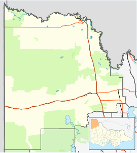
Ouyen /ˈoʊjən/ is a town in Victoria, Australia, located in the Rural City of Mildura at the junction of the Calder Highway and Mallee Highway, 105 kilometres (65 mi) south of Mildura and 441 km (274 mi) north-west of Melbourne. At the 2006 census the town had a population of 1,061.
The area was first occupied by the Wergaia Aborigines. The name is believed to be derived from the Wergaia word "wuya-wuya", which some believe means "pink-eared duck", whilst others claim it means "ghost waterhole".
The town was established around the Ouyen railway station, built in 1906 on the Mildura Line. The Post Office opened on 22 October 1907 It is also the junction for a railway line west parallel to the Mallee Highway. This line is in poor condition and used only for collecting grain from silos in small towns between Ouyen and the South Australian border, as the Victorian part is broad gauge, but the line from Pinnaroo to Tailem Bend has been converted to standard gauge, with no facility for handling the break of gauge. The line was used for interstate freight and The Overland as a broad gauge connection while the main Melbourne to Adelaide line (through Bordertown) was being converted from broad to standard gauge in 1995.
...
Wikipedia

