Mongsang
| Mongsang (Möngsang) | |||||
| State of the Shan States in personal union with Monghsu | |||||
|
|||||
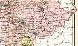
| Möng Sang State in an Imperial Gazetteer of India map | |||||
| History | |||||
| • | State founded | 1857 | |||
| • | Abdication of the last Myoza | 1959 | |||
| Area | |||||
| • | 1901 | 2,650 km2(1,023 sq mi) | |||
| Population | |||||
| • | 1901 | 30,482 | |||
| Density | 11.5 /km2 (29.8 /sq mi) | ||||
Mongsang (also known as Maingsin) was a Shan state in what is today Burma.
Mongsang became independent from Hsenwi in 1857 under a personal union with the neighbouring state of Monghsu. It was a tributary of Burma until 1887, when the Shan states submitted to British rule after the fall of the Konbaung dynasty.
The rulers of Möngsang/Monghsu bore the title of Myoza.
Coordinates: 21°48′N 98°21′E / 21.800°N 98.350°E
...
Wikipedia

