Hembury

Ramparts inside Hembury hillfort
|
|
| Location | Hembury, Devon |
|---|---|
| Coordinates | 50°49′14″N 3°15′43″W / 50.82061°N 3.26200°W |
| Type | Hillfort |
| History | |
| Periods | Neolithic, Iron Age, Roman |
| Site notes | |
| Public access | Yes |
| Website | http://www.hemburyfort.co.uk |
Coordinates: 50°49′14″N 3°15′43″W / 50.82061°N 3.26200°W
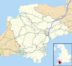
Hembury is a Neolithic causewayed enclosure and Iron Age hill fort near Honiton in Devon. Its history stretches from the late fifth and early fourth millennia BC to the Roman invasion. The fort is situated on a south facing promontory at the end of a 240m high ridge in the Blackdown Hills. It lies to the north of and overlooking the River Otter valley and this location was probably chosen to give good views of the surrounding countryside as well as for defensive reasons.
Originally a neolithic site, an Iron Age hill fort was later built on the same site.
It was excavated between 1930 and 1935 by Dorothy Liddell. She identified a timber framed entrance to the causewayed enclosure and an oval arrangement of postholes in the middle which she interpreted as being a building destroyed by fire before the enclosure earthworks were built. Other evidence of neolithic occupation included pottery, flints, axes, querns and charred grain.
During an excavation in the 1980s headed by Malcolm Todd, archaeological evidence was found on the site of Roman military occupation, suggesting a fort within the existing Iron Age site.
...
Wikipedia

