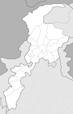
Haripur, Pakistan
|
Haripur ہری پور |
|
|---|---|
| District Headquarter / City | |
| Coordinates: 33°59′39″N 72°56′0″E / 33.99417°N 72.93333°ECoordinates: 33°59′39″N 72°56′0″E / 33.99417°N 72.93333°E | |
| Country | Pakistan |
| Province | Khyber Pukhtunkhwa |
| District | Haripur District |
| Elevation | 520 m (1,710 ft) |
| Population | |
| • Total | 804,000 |
| Time zone | PST (UTC+5) |
| Calling code | 0995 |
| Number of Union councils | 45 |
Haripur named after Sardaar Hari Singh Wala reminiscent of the area's glorious Sikh history and over the due course of Indus Valley Civilization (Urdu/Hindkoہری پور ) is the main city of the Haripur District in Hazara, Khyber Pukhtunkhwa in Pakistan, with Swabi and Buner to the west, some 65 km (40 mi) north of Islamabad and 35 km (22 mi) south of Abbottabad. It is located in a hilly plain area at an altitude of 520 m (1,706 ft). The city lies on the Karakoram Highway (N35). Many castes and tribes are living at Haripur including the, Shah's of Chhoi, Tanolis, Khan, Abbasi, Gakhars, Turks, Gujjars, Karlal, Qazi/Awan, Jadoon, Tareen, Sulemani, Raja .
Haripur was founded by the Sikh general Hari Singh Nalwa in 1822 and became the headquarters of Hazara until 1853. Hari Singh Nalwa was appointed by Maharaja Ranjit Singh as the second Nazim of Hazara after the first Nazim Amar Singh Majithia was killed by the local populace at Nara.
...
Wikipedia


