Elida, Ohio
| Elida, Ohio | |
|---|---|
| Village | |

Houses on Main Street
|
|
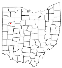
 Location of Elida, Ohio |
|
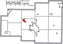
 Location of Elida in Allen County |
|
| Coordinates: 40°47′11″N 84°11′52″W / 40.78639°N 84.19778°WCoordinates: 40°47′11″N 84°11′52″W / 40.78639°N 84.19778°W | |
| Country | United States |
| State | Ohio |
| County | Allen |
| Township | American |
| Government | |
| • Mayor | Kim M. Hardy |
| Area | |
| • Total | 1.22 sq mi (3.16 km2) |
| • Land | 1.22 sq mi (3.16 km2) |
| • Water | 0 sq mi (0 km2) |
| Elevation | 801 ft (244 m) |
| Population (2010) | |
| • Total | 1,905 |
| • Estimate (2012) | 1,866 |
| • Density | 1,561.5/sq mi (602.9/km2) |
| Time zone | Eastern (EST) (UTC-5) |
| • Summer (DST) | EDT (UTC-4) |
| ZIP code | 45807 |
| Area code(s) | 419 |
| FIPS code | 39-24808 |
| GNIS feature ID | 1064608 |
Elida is a village in Allen County, Ohio, United States. The population was 1,905 at the 2010 census. It is included in the Lima, Ohio Metropolitan Statistical Area.
Elida was laid out in 1852. A post office called Elida was established in 1854, and remained in operation until 1959. The village was incorporated in 1878.
Elida is located at 40°47′11″N 84°11′52″W / 40.78639°N 84.19778°W (40.786450, -84.197823).
According to the United States Census Bureau, the village has a total area of 1.22 square miles (3.16 km2), all land.
As of the census of 2010, there were 1,905 people, 708 households, and 559 families residing in the village. The population density was 1,561.5 inhabitants per square mile (602.9/km2). There were 741 housing units at an average density of 607.4 per square mile (234.5/km2). The racial makeup of the village was 94.3% White, 2.6% African American, 0.1% Native American, 0.8% Asian, 0.7% from other races, and 1.6% from two or more races. Hispanic or Latino of any race were 1.6% of the population.
...
Wikipedia
