Caprock Canyons State Park and Trailway
| Caprock Canyons State Park | |
|---|---|

View from Haynes Ridge
|
|
| Location | Briscoe County, Texas |
| Nearest city | Quitaque |
| Coordinates | 34°26′37″N 101°03′08″W / 34.44361°N 101.05222°WCoordinates: 34°26′37″N 101°03′08″W / 34.44361°N 101.05222°W |
| Area | 15,314 acres (6,197 ha) |
| Established | 1982 |
| Governing body | Texas Parks and Wildlife Department |
| http://www.tpwd.state.tx.us/state-parks/caprock-canyons TPWD | |
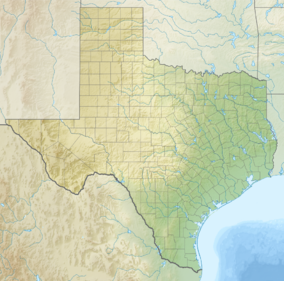
Caprock Canyons State Park and Trailway is a Texas state park located along the eastern edge of the Llano Estacado in Briscoe County, Texas, United States, approximately 100 miles (160 km) southeast of Amarillo. The state park opened in 1982 and is 15,314 acres (6,197 ha) in size, making it the third-largest state park in Texas.
In 1993, a hiking, biking, and equestrian rail trail opened that stretches through the park through Floyd, Briscoe, and Hall counties. The trailway was created after the Texas Parks and Wildlife Department acquired 64.25 miles (103 km) of right-of-way from the abandoned Fort Worth and Denver Railroad's lines between Estelline and South Plains.
Isolated butte, an erosional remnant of the Llano Estacado.
Side canyon carved by erosion.
The park is located in West Texas and has a semi-arid climate. The average January minimum temperature is 19 °F (−7 °C) and the average July maximum is 91 °F (33 °C). The park receives 20.4 inches (520 mm) of precipitation annually.
The area contains badlands with mesquite, cacti and junipers with tall grasses, plums, hackberries and cottonwoods in the canyons.
...
Wikipedia

