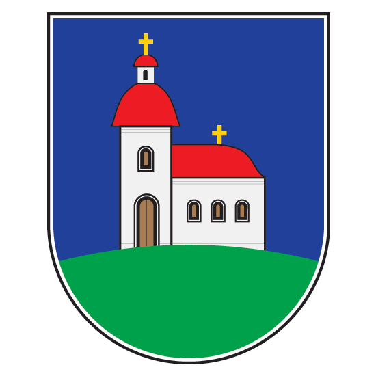
Bela Crkva (Vojvodina)
|
Bela Crkva Бела Црква |
||
|---|---|---|
| Town and municipality | ||

Bela Crkva street
|
||
|
||
| Location of Bela Crkva within Serbia | ||
| Coordinates: 44°53′51″N 21°25′01″E / 44.89750°N 21.41694°ECoordinates: 44°53′51″N 21°25′01″E / 44.89750°N 21.41694°E | ||
| Country |
|
|
| Province | Vojvodina | |
| District | South Banat | |
| Elevation | 78 m (256 ft) | |
| Population (2011) | ||
| • Bela Crkva | 8,868 | |
| • Metro | 17,285 | |
| Time zone | CET (UTC+1) | |
| • Summer (DST) | CEST (UTC+2) | |
| Postal code | 26340 | |
| Area code(s) | +381(0)13 | |
| Car plates | VŠ | |
| Website | www.belacrkva.rs | |
Bela Crkva (Serbian Cyrillic: Бела Црква [pronounced [bɛ̂ːlaː tsr̩̂ːkv̞a]], German: Weißkirchen, Hungarian: Fehértemplom, Romanian: Biserica Albă) is a town and municipality located in the South Banat District of the autonomous province of Vojvodina, Serbia. The town has a population of 8,868, while the Bela Crkva municipality has 17,285 inhabitants.
Bela Crkva lakes at the outskirts of the town are a popular summer tourist destination.
The name of the town Bela Crkva means "white church" in Serbian. In Romanian, the town is known as Biserica Albă (formerly Albești), in German as Weißkirchen, in Hungarian as Fehértemplom (formerly Fejéregyház), and in Turkish as Aktabya.
Neolithic findings of ceramics and burial with Greek-style pots dating to late 5th century BC are founded in the area.
The town was founded in 1717 when this region was included into the Habsburg Monarchy. It was part of the Banatian Military Frontier of the Monarchy and, since 1774, was a seat of the Illyrian (Serbian) section of the Banatian Frontier. Briefly, in 1787-1788, the town was controlled by the Ottomans. In 1848-1849, the town was part of autonomous Serbian Vojvodina, but in 1849 it was again placed under military administration. With the abolishment of the Military Frontier, the town was included into Temes county of the Kingdom of Hungary, one of two autonomous parts of Austria-Hungary. The town was also a seat of the district since 1867.
...
Wikipedia


