Alcácer-Ceguer
|
Ksar es-Seghir القصر الصغير Ksar Sghir |
|
|---|---|
 |
|
| Location in Morocco | |
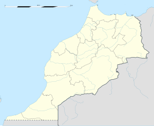
| Coordinates: 35°50′31″N 5°33′31″W / 35.84194°N 5.55861°W | |
| Country |
|
| Region | Tanger-Tetouan-Al Hoceima |
| Province | Fahs-Anjra |
| Population (2004) | |
| • Total | 10,995 |
| Time zone | WET (UTC+0) |
| • Summer (DST) | WEST (UTC+1) |
Ksar es-Seghir or Ksar Sghir or al-Qasr al-Seghir (Moroccan Arabic: القصر الصغير, translit. l-qṣər ṣ-ṣġir), is a small town on the Mediterranean coast in the Jebala region of northwest Morocco, between Tangier and Ceuta, on the right bank of the river of the same name. Administratively, it belongs to Fahs-Anjra Province and the region of Tanger-Tetouan-Al Hoceima. By the census of 2004, it had a population of 10,995 inhabitants.
It is also known by its Portuguese name Alcácer-Ceguer and its Spanish name Alcázarseguir (or more archaically, Castillejo). Its name Ksar es-Seghir ('small castle') contrasts with Ksar-el-Kebir ('large castle') further south. The old name of the city is "Ksar Masmuda" (The Masmuda castle), as reported by 13th-century historian Abdelwahid al-Marrakushi.
The city is circular, a design unusual in medieval Moroccan town planning. It is built from brick and ashlar masonry and flanked by semi-circular masonry towers. There are three monumental doors in the wall, each flanked by square towers. The Bāb al-Bahr (door of the sea), has an elbowed entrance for defensive purposes. These doors were used both for communication and trade and for taxation purposes.
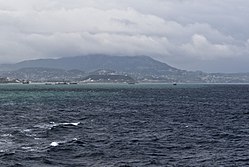
Ksar es-Seghir is located on the Strait of Gibraltar, about half-way between Tangier and Ceuta. Situated in a bay on a stretch of coast that is relatively difficult to access by sea or land, Ksar es-Seghir never grew in size to rival the other north Moroccan ports. However, its sheltered position made it attractive as a military landing ground, a place for the safe and orderly embarcation and disembarcation of sea-borne troops, with little danger of disruption or molestation by enemy action.
...
Wikipedia

