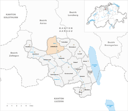
Unterkulm
| Unterkulm | ||
|---|---|---|
 |
||
|
||
| Coordinates: 47°19′N 8°7′E / 47.317°N 8.117°ECoordinates: 47°19′N 8°7′E / 47.317°N 8.117°E | ||
| Country | Switzerland | |
| Canton | Aargau | |
| District | Kulm | |
| Area | ||
| • Total | 8.89 km2 (3.43 sq mi) | |
| Elevation | 466 m (1,529 ft) | |
| Population (Dec 2015) | ||
| • Total | 2,970 | |
| • Density | 330/km2 (870/sq mi) | |
| Postal code | 5726 | |
| SFOS number | 4146 | |
| Surrounded by | Dürrenäsch, Gränichen, Hirschthal, Muhen, Oberkulm, Schlossrued, Schöftland, Teufenthal | |
| Website |
www SFSO statistics |
|
Unterkulm is a municipality in the district of Kulm in the canton of Aargau in Switzerland.
Both Roman ruins near the church and late-Roman coins at Sonnenhof indicate that the area near Unterkulm was settled during the Roman era. However, Unterkulm is first mentioned in 1045 as Chulenbare though this is for both Unterkulm and Oberkulm. In 1303 it was mentioned as ze Nideren-Kulme which is the first mention of Unterkulm individually. Until 1566 Unter- and Oberkulm formed a tithe district (German: Zehntbezirk), though their political separation was probably earlier. In the 12th and 13th Centuries the area was ruled by the Lenzburg family, then the Kyburgs and finally the Habsburgs. By 1300 parts of the village were also owned by the monasteries of Schänis, Beromünster and Engelberg as well as local aristocratic families and the Dukes of Austria. In the 14th and 15th Centuries the Knights Hospitaller houses at Klingnau and Biberstein, and the collegiate church at Zofingen also became landholders in Unterkulm. After the conquest by Bern in 1415, Unterkulm remained part of the Court on Kulm in the District (German: Oberamt) of Lenzburg until 1798. During the Helvetic Republic (1798–1803) it was a district capital.
...
Wikipedia


