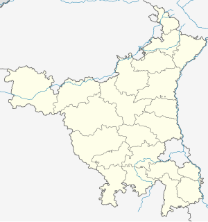
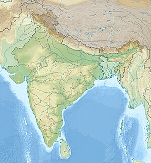
Tosham Hill range
| Tosham Hill | |
|---|---|

Toshām Hill showing the site of the ancient monastery and water cascade
|
|
| Highest point | |
| Elevation | 207 m (679 ft) |
| Listing | List of Indian states and territories by highest point |
| Coordinates | 28°53′N 75°55′E / 28.88°N 75.92°ECoordinates: 28°53′N 75°55′E / 28.88°N 75.92°E |
| Geography | |
| Location | Bhiwani district, Haryana, India |
| Parent range | Aravali Range |
| Climbing | |
| Easiest route | Hike / scramble |
Tosham hill (Tusham hill old spelling), located at Tosham, with an average elevation of 207 meters (679 feet), and the rocks exposed in and around Tosham hills are part of subsurface north western spur of Alwar group of Delhi supergroup of Aravalli Mountain Range, belong to the Precambrian Malani igneous suite of rocks and have been dated at 732 Ma BP (million years before present).
The main Tosham hill is an extinct volcano which erupted sometime 732 Ma BP (million years before present). Geologic province of Khanak-Tosham-Dharan-Riwasa-Nigana Khurd-Dulheri-Kharkari Makhwan-Dadam-Khanak is an narrow oval shaped ring dike of eroded extinct volcanoes on the periphery of a collapsed caldera (magmatic chamber) of roughly 16 kilometres (9.9 mi) diameter on its longest Khanak to Nigana Khurd NW-SE axis and 8 kilometres (5.0 mi) on its narrower Dadam to Tosham E-W axis. This sub-surface ring dyke is now buried under the later era soils. Much of the area to the west of ring dyke is covered with Aeolian sand flown from the fringes of Thar Desert. The remaining area is covered under sedimentary alluvium soil of Harka river of Ghaggar-Hakra River system (paleo Sarasvati River) to the north and east, and paleo channel of Yamuna through Bhiwani in the south and east. Among these hills, Khanak hill is the largest and tallest, and Tosham hill is the second largest smaller hill. The other neighbouring hills, in the order of decreasing size, such as Nigana Khurd, Riwasa, Dulehri, Dharan, Dadam etc. are composed of granite porphyries.
...
Wikipedia


