Taobat
| Taobat | |
|---|---|
| Village | |

A view of Taobat village, the stream in the image is not to be confused with River Neelum, It is the Gagai Nala which later on merges into the River.
|
|
| Coordinates: 34°43′38″N 74°42′45″E / 34.7271°N 74.7125°E | |
| Country |
|
| State |
|
| District | Neelam |
| Elevation | 2,300 m (7,500 ft) |
| Languages | |
| • Official | Urdu |
| • Local | Kashmiri, Shina/Gilgiti |
| Time zone | PST |
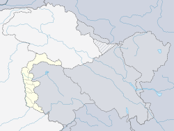
Taobat (Urdu: ٹاؤبٹ ) is a village in Neelam Valley, Azad Kashmir, Pakistan. It is located 200 kilometers (120 mi) from Muzaffarabad and 39 kilometers (24 mi) from Kel. It is the last station in Neelam valley. It is also the nearest location from where Kishenganga river enters Pakistani territory and becomes River Neelum.
Taobat is accessible from Kel by unmetalled road. A Motel of AJK Tourism and Archeology Department and a small number of hotels with meager resources are located there for tourists stay.
...
Wikipedia

