Songjin
|
Kimchaek 김책시 |
|
|---|---|
| Municipal City | |
| Korean transcription(s) | |
| • Chosŏn'gŭl | |
| • Hancha | |
| • McCune-Reischauer | Kimch'aek si |
| • Revised Romanization | Gimchaek-si |
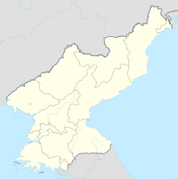
| Map of North Korea showing the location of Kimchaek | |
| Coordinates: 40°40′2″N 129°12′2″E / 40.66722°N 129.20056°ECoordinates: 40°40′2″N 129°12′2″E / 40.66722°N 129.20056°E | |
| Country | North Korea |
| Province | North Hamgyong Province |
Kimch'aek (Korean pronunciation: [kim.tsʰɛk̚]), formerly Sŏngjin (Chosŏn'gŭl: 성진, Hancha: 城津), is a city in North Hamgyong Province, North Korea. It was an open port in 1899. It has a population of 196,000. The city received its current name in 1951 during the Korean War, in honor of the Korean People's Army (KPA) general, Kim Chaek. It was known as "Shirotsu" during Japanese rule between 1910 and 1945.
Kimch'aek-si is divided into 22 tong (neighbourhoods) and 22 ri (villages):
Kimchaek is an important port on the Sea of Japan (known to Koreans as the East Sea of Korea), and is home to an ironworks and the Kimch’aek Polytechnic Institute.
Kimchaek is on the Pyongra Line railway.
...
Wikipedia

