
Sessa Orchid Sanctuary
| Sessa Orchid Sanctuary | |
|---|---|
| wildlife sanctuary | |

|
|

Sessa Orchid Sanctuary

Sessa Orchid Sanctuary
|
|
| Coordinates: 27°12′N 92°30′E / 27.2°N 92.5°ECoordinates: 27°12′N 92°30′E / 27.2°N 92.5°E | |
| Country |
|
| State | Arunachal Pradesh |
| District | West Kameng |
| Established | 1989 |
| Area | |
| • Total | 100 km2 (40 sq mi) |
| Languages | |
| • Official | English |
| Time zone | IST (UTC+5:30) |
| Vehicle registration | AR |
| Nearest city | Bomdila |
| IUCN category | IV |
| Governing body | Secretary (Political), Government of Arunachal Pradesh |
| Website:SESSA ORCHID SANCTUARY & NURSERY | |
Sessa Orchid Sanctuary is a 100 km2 protected area of India in the Himalayan foothills in Bhalukpong Forest Division of West Kameng District, Arunachal Pradesh. It conjoins Eaglenest Wildlife Sanctuary to the southwest. It is a part of the Kameng Protected Area Complex (KPAC), which is an Elephant Reserve. See map. The department of Environment & Forests has developed trekking routes for visitors to enjoy the natural habitats of orchids. There are deep gorges and valleys, high peaks and rugged terrain that are rewarding for nature lovers and adventure tourists. A nursery includes representative specimens of various orchid species of the sanctuary and a demonstration farm of Cymbidium hybrids for cut-flower production. Most of Sessa has traditionally been claimed by the Bugun tribe as part of their territory.
Sessa and Eaglenest together occupy a rough east-west rectangle with Sessa occupying the north-east quadrant. The Bhalukpong-Bomdila highway (and Pakke immediately beyond) are its eastern boundary. It is bounded to the north by the Tenga River valley. Altitude is 900 metres (2,953 ft) to 3,250 metres (10,663 ft).
Sessa and Eaglenest ridges rise to 3,250 metres (10,663 ft) and 2,700 metres (8,858 ft) respectively and are the first major barriers to the monsoon as it moves north from the plains of Assam. These ridges get over 3,000 millimetres (120 in) of rain on the southern slopes and about 1,500 millimetres (59 in) on the northern slopes.
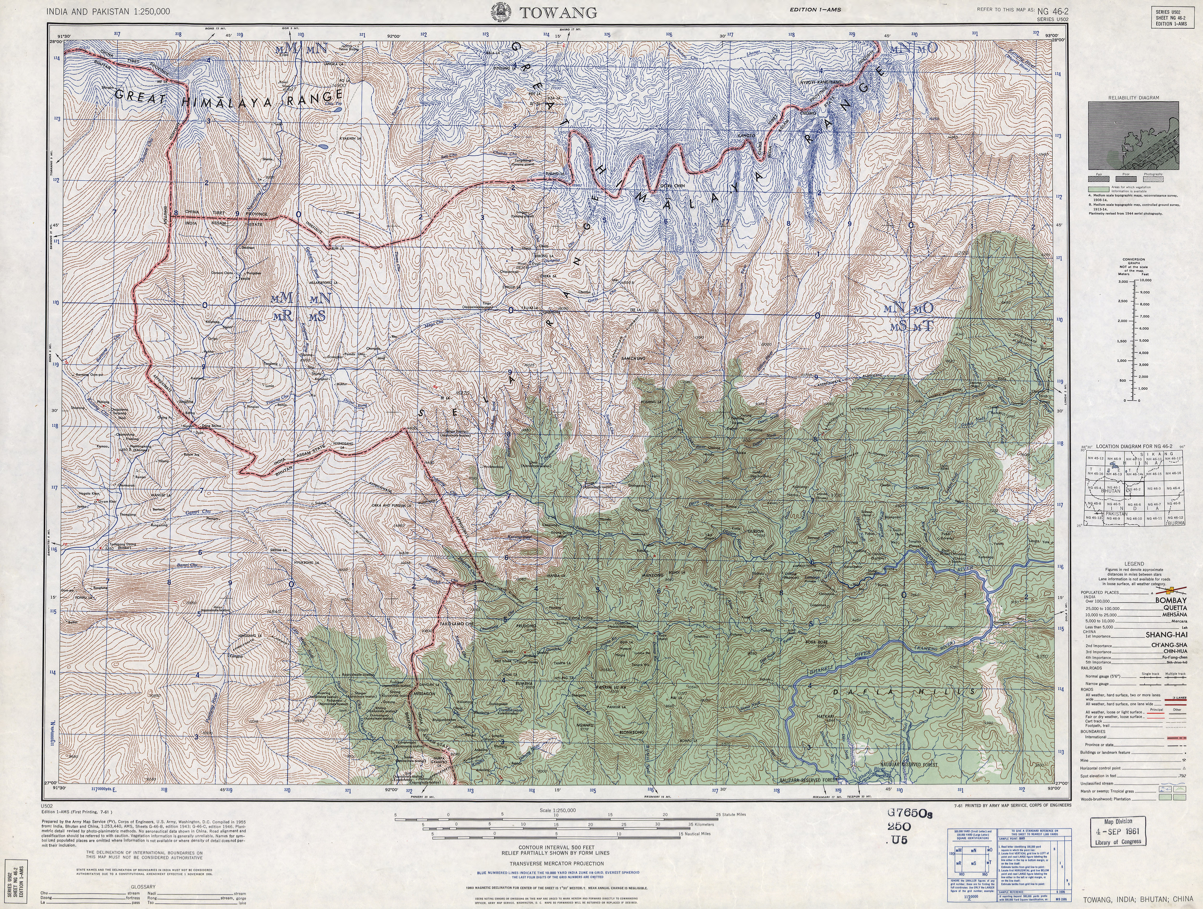
Sessa sanctuary is drained by the Tippi Naala (Tippi river) which joins the Kameng river at Tippi village on the Bhalukpong-Bomdila highway. Topographic map
...
Wikipedia