Eaglenest Wildlife Sanctuary
| Eaglenest Wildlife Sanctuary | |
|---|---|
|
IUCN category IV (habitat/species management area)
|
|

Bugun liocichla, a vulnerable species first discovered at Eaglenest WS in 1995
|
|
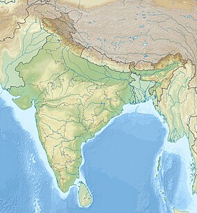
| Location | West Kameng, Arunachal Pradesh, India/Cona, |
| Coordinates | 27°06′0″N 92°24′0″E / 27.10000°N 92.40000°ECoordinates: 27°06′0″N 92°24′0″E / 27.10000°N 92.40000°E |
| Area | 218 square kilometres (84 sq mi) |
| Established | 1989 |
| Visitors | 75 (in 2006) |
| Governing body | Government of Arunachal Pradesh |
Eaglenest or Eagle's Nest Wildlife Sanctuary is a protected area of India in the Himalayan foothills of West Kameng District, Arunachal Pradesh. It conjoins Sessa Orchid Sanctuary to the northeast and Pakhui Tiger Reserve across the Kameng river to the east. Altitude ranges are extreme: from 500 metres (1,640 ft) to 3,250 metres (10,663 ft). It is a part of the Kameng Elephant Reserve.
Eaglenest is notable as a prime birding site due to the extraordinary variety, numbers and accessibility of species.
Eaglenest derives its name from Red Eagle Division of the Indian army which was posted in the area in the 1950s.
Eaglenest and Sessa Orchid Sanctuary together occupy a rough east-west rectangle with Sessa occupying the northeast quadrant. Eaglenest is bounded to the north by Eaglenest Ridge and the reserved forests of the Bugun community (Lama Camp area). Eaglenest adjoins Tawang district to the north. The Bhalukpong–Bomdila highway (and Pakke immediately beyond) are its eastern boundary. There are no distinct geographical features delineating its western boundary along the Bhutan border and the southern boundary at about 27° N latitude.
Eaglenest and Sessa ridges rise to 3,250 metres (10,663 ft) and 3,150 metres (10,335 ft) respectively and are the first major barriers to the monsoon as it moves north from the plains of Assam. These ridges get over 3,000 millimetres (120 in) of rain on the southern slopes and about 1,500 millimetres (59 in) on the northern ones.
The eastern half of Eaglenest and Sessa sanctuaries is drained by the Tippi Naala (Tippi river) which joins the Kameng river at Tippi village on the Bhalukpong–Bomdila highway. Several smaller streams including Buhiri Nadi and Dihung Nadi in the western half of the area flow down to join the Brahmaputra separately.
...
Wikipedia

