Rockport Power Plant
| Rockport Generating Station | |
|---|---|

Rockport Generating Station
|
|
| Country | United States |
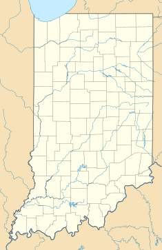
| Location | Ohio Township, Spencer County, Indiana |
| Coordinates | 37°55′32″N 87°02′02″W / 37.92556°N 87.03389°WCoordinates: 37°55′32″N 87°02′02″W / 37.92556°N 87.03389°W |
| Status | Operational |
| Commission date | Unit 1: December 1984 Unit 2: December 1988 |
| Owner(s) | Indiana-Michigan Power |
| Thermal power station | |
| Primary fuel | Bituminous coal |
| Type | Steam |
| Cooling source | Cooling towers |
| Power generation | |
| Units operational | 2 = 1,300 MW total |
| Nameplate capacity | 2,600 MW |
Rockport Generating Station is a coal-fired power plant, located along the Ohio River in Ohio Township, Spencer County, Indiana, in the United States, near Rockport, Indiana. The power plant is located along U.S. Route 231 (segment known as the Abraham Lincoln Memorial Parkway), approximately one mile north of the William H. Natcher Bridge, spanning the Ohio River. It is operated by Indiana Michigan Power, a subsidy of American Electric Power.
Two identical non-cyclonic Babcock & Wilcox units (1,300 MW total) were launched into service in December 1984 and December 1988. They are among the largest coal units built. The plant is connected to the grid by 765 kilovolt transmission lines (the highest rated voltage used in the United States).
The coal is delivered to the plant by barges along the Ohio River.
The power plant features the tallest smokestack in Indiana, and is one of the tallest smokestacks in the world at 1,038 feet (316.4 m). The central smokestack and two cooling towers can be seen from as far west as Evansville, 45 miles to the west, as far north as the U.S. 231-Interstate 64 Junction, and as far east as Lewisport, Kentucky and Tell City, Indiana. It can also be seen as far south as Owensboro, Kentucky as well.
...
Wikipedia

