Rice Army Airfield
| Rice Army Air Field | |
|---|---|
| Part of Fourth Air Force | |
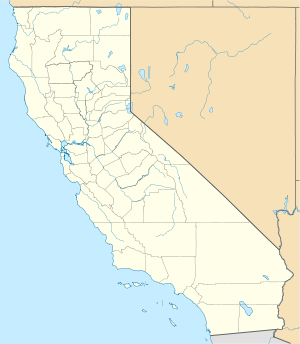
| Riverside County, near Rice, California | |

2006 USGS airphoto (detail enhanced image)
|
|

1945 USAAF oblique airphoto
|
|
| Coordinates | 34°03′56″N 114°48′48″W / 34.06556°N 114.81333°WCoordinates: 34°03′56″N 114°48′48″W / 34.06556°N 114.81333°W |
| Type | Army Airfield |
| Site information | |
| Controlled by | United States Army Air Forces |
| Site history | |
| Built | 1942 |
| In use | 1942–1944 |
| Garrison information | |
| Garrison | Fourth Air Force |
Rice Army Air Field (also known as Rice Air Base or Rice AAF) is an abandoned World War II airfield in Rice Valley of the southern Mojave Desert, located 1-mile (1.6 km) east-southeast of the community of Rice. The airfield is located in Riverside County just south of the San Bernardino county line and State Route 62.
Rice AAF was acquired 29 September 1942 and was part of the World War II Desert Training Center in the Mojave Desert of Southern California. It apparently was a civil airfield before the war, known as "Rice Municipal Airport", its origins are unknown.
The mission of the training center was to prepare United States Army ground forces in preparation for Operation Torch — the invasion of North Africa. The center was commanded by then Brigadier General George Patton. The facility was assigned to United States Army Air Forces Fourth Air Force. The airfield consisted of two 5,000-foot runways with numerous dispersal pads extending off the runways to the south, and support facilities and barracks to house about 3,000 personnel.
Under the IV Air Support Command in 1942 and early 1943; the 71st Reconnaissance Group and the 85th Bombardment Group flew reconnaissance and dive bomber training missions with the Army ground forces in the DTC.
...
Wikipedia


