Ponta Preta (Santiago)
| Ponta Preta | |
|---|---|

The north part of the bay along with Ponta Preta and its lighthouse
|
|
| Location | Northern Santiago, Cape Verde 3 km north of Tarrafal |
| Coordinates | 15°17′58″N 23°46′27″W / 15.2995°N 23.7743°WCoordinates: 15°17′58″N 23°46′27″W / 15.2995°N 23.7743°W |
| Offshore water bodies | Atlantic Ocean |
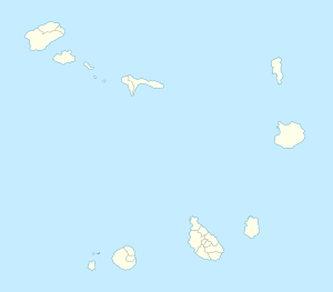
Ponta Preta is a point and a headland in the northwest of the island of Santiago, Cape Verde. It is about 3 km northwest of the town of Tarrafal. The point is the westernmost in the municipality and the third westernmost on the island after a point west of Porto Rincão.
It has a headland that stretches more than a kilometer east to west and north to south and has an area of about 150 ha. The point divides the two bays, Fazenda in the north at a small headland and Tarrafal Bay at the lighthouse. It also forms a part of the west of Monte Graciosa, the headland are surrounded by steep cliffs, the highest point on the headland is 187 metres. Nearby points include Ponta Fazenda 2 km north, one near Chão Bom 5 km south, Ponta de São Jorge more than 3 km north and Ponta Moreia 5 km north.
About 10 km immediately to the west has a depth of 1,000 meters and that portion forms a part of the Cape Verde Rise. 20-30 km north has the deepest portion being about 3,000 meters below sea level.
Southeast of the point in its headland has a homonymous lighthouse located near the point at the elevation of about 25-36 meters above sea level. It is connected with a pathway linking Tarrafal at its beach.
During the Ice Age, the point then unnamed was about a kilometer west. The island along with the point was first discovered by António da Noli in 1460. Before the northern part was settled around the 16th century, the area was forested probably most of the headland. The area around the point was first settled around the mid to late 16th century.
In the 1950s, the geography was barren, in the 1980s, a small part has been reforested but the remainder remains to be a barren grassland and savanna.
Numerous flora and fauna mostly endangered dominate the headland as well as under the sea surrounding the point. Marine fauna founded in the waters include the goose barnacle Pollicipes caboverdensis and the coral Balanopsammia wirtzi, the only species of the genus. Both of these were named in the first years of the current decade. Fishes founded within the promontory include the Cape Verde basslet (Liopropoma emanueli) and the Two-banded seabream (Diplodus prayensis).
...
Wikipedia

