Polk, Ohio
| Polk, Ohio | |
|---|---|
| Village | |

|
|
 Location of Polk, Ohio |
|
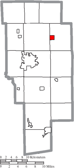
 Location of Polk in Ashland County |
|
| Coordinates: 40°56′44″N 82°13′3″W / 40.94556°N 82.21750°WCoordinates: 40°56′44″N 82°13′3″W / 40.94556°N 82.21750°W | |
| Country | United States |
| State | Ohio |
| County | Ashland |
| Area | |
| • Total | 1.03 sq mi (2.67 km2) |
| • Land | 1.01 sq mi (2.62 km2) |
| • Water | 0.02 sq mi (0.05 km2) |
| Elevation | 1,270 ft (387 m) |
| Population (2010) | |
| • Total | 336 |
| • Estimate (2012) | 337 |
| • Density | 332.7/sq mi (128.5/km2) |
| Time zone | Eastern (EST) (UTC-5) |
| • Summer (DST) | EDT (UTC-4) |
| ZIP code | 44866 |
| Area code(s) | 419 |
| FIPS code | 39-63996 |
| GNIS feature ID | 1061562 |
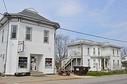
Polk is a village in Ashland County, Ohio, United States. The population was 336 at the 2010 census.
Polk was laid out in 1849. A post office called Polk has been in operation since 1846.
Polk is located at 40°56′44″N 82°13′3″W / 40.94556°N 82.21750°W (40.945541, -82.217374).
According to the United States Census Bureau, the village has a total area of 1.03 square miles (2.67 km2), of which 1.01 square miles (2.62 km2) is land and 0.02 square miles (0.05 km2) is water.
Polk was the birthplace of Tully "Topsy" Hartsel, a Major League Baseball outfielder and World War II major general Stanley Eric Reinhart.
As of the census of 2010, there were 336 people, 129 households, and 87 families residing in the village. The population density was 332.7 inhabitants per square mile (128.5/km2). There were 136 housing units at an average density of 134.7 per square mile (52.0/km2). The racial makeup of the village was 97.0% White, 0.3% African American, 0.9% from other races, and 1.8% from two or more races. Hispanic or Latino of any race were 2.4% of the population.
...
Wikipedia
