Piz Aul
| Piz Aul | |
|---|---|

View from Faltschonhorn (south side)
|
|
| Highest point | |
| Elevation | 3,121 m (10,240 ft) |
| Prominence | 395 m (1,296 ft) |
| Parent peak | Rheinwaldhorn |
| Coordinates | 46°37′22.1″N 9°7′28.2″E / 46.622806°N 9.124500°ECoordinates: 46°37′22.1″N 9°7′28.2″E / 46.622806°N 9.124500°E |
| Geography | |
| Location | Graubünden, Switzerland |
| Parent range | Lepontine Alps |
| Climbing | |
| First ascent | Probably by one Christian Janken. First recorded ascent by Placidus a Spescha in 1801. |
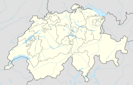
Piz Aul is a mountain of the Lepontine Alps, overlooking Vals in the canton of Graubünden.
...
Wikipedia

