Pacific Rim National Park Reserve
| Pacific Rim National Park Reserve | |
|---|---|
|
IUCN category II (national park)
|
|
|
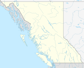
Location of Pacific Rim National Park in British Columbia
|
|
| Location | British Columbia, Canada |
| Nearest city | Victoria |
| Coordinates | 48°38′10″N 124°46′09″W / 48.63611°N 124.76917°WCoordinates: 48°38′10″N 124°46′09″W / 48.63611°N 124.76917°W |
| Area | 511 km2 (197 sq mi) marine: 221 km2 (85 sq mi) terrestrial: 290 km2 (110 sq mi) |
| Established | 1970 |
| Governing body | Parks Canada |
Pacific Rim National Park Reserve is a Canadian national park reserve in British Columbia comprising three separate regions: Long Beach, the Broken Group Islands, and the West Coast Trail. The entire reserve encompasses 511 km2 (197 sq mi) of land and ocean. It is characterized by rugged coasts and lush temperate rainforests. The reserve is open from mid-March until mid-October. It was created in 1970 as the first national park reserve, and remains the oldest, having yet to fulfill its promise of becoming a national park after more than 45 years. The reserve was opened in 1971 in a ceremony attended by Princess Anne of England, who was presented with a driftwood abstract sculpture by Jean Chretien, the minister responsible for Parks Canada. The sculpture was the work of local artist Godfrey Stephens.
This park reserve is home to mammalian species of raccoon, black-tailed deer, cougar, wolf, black bear, marten, and mink.
Visitors are often thrilled by views of various marine animals such as seals, porpoises, sea lions, and many species of whales that are frequent at this shoreline.
The park encompasses a thin strip of land located on the south-west coast Irel Island. To the east of the park lies the Vancouver Island Ranges of the Insular Mountains and to the west is the Pacific Ocean.
...
Wikipedia

