Montreal Island

Map of the Island of Montreal
|
|
| Geography | |
|---|---|
| Location | Saint Lawrence River |
| Coordinates | 45°30′01″N 73°38′47″W / 45.50028°N 73.64639°WCoordinates: 45°30′01″N 73°38′47″W / 45.50028°N 73.64639°W |
| Archipelago | Hochelaga Archipelago |
| Area | 499.19 km2 (192.74 sq mi) |
| Length | 50 km (31 mi) |
| Width | 16 km (9.9 mi) |
| Highest elevation | 233 m (764 ft) |
| Highest point | Mount Royal |
| Administration | |
|
Canada
|
|
| Province | Quebec |
| City | Montreal |
| Demographics | |
| Population | 1,886,481 (2011) |
| Pop. density | 3,779.1 /km2 (9,787.8 /sq mi) |
| Ethnic groups | multiracial |
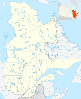
The Island of Montreal (French: Île de Montréal, Kanien’kéha: Tiohtià:ke), in southwestern Quebec, Canada, is located at the confluence of the Saint Lawrence and Ottawa rivers. It is separated from Île Jésus (Laval) by the Rivière des Prairies.
The island is boomerang-shaped (one end pointing roughly west, the other roughly northeast). It is the largest island in the Hochelaga Archipelago, and the second largest in the Saint Lawrence River (following Anticosti Island in the Gulf of Saint Lawrence). It is the most populous island in Canada and the 37th most populous island on earth. Montreal Island is the second most populous river island in the world (behind Zhongshan Dao in China), as well as the most populous of any island in the world on fresh water.
The St. Lawrence widens into Lake Saint-Louis south-west of the island, narrows into the Lachine Rapids, then widens again into the Bassin de La Prairie before becoming the St. Lawrence again and flowing toward Quebec City. Saint Helen's Island and Notre Dame Island are in the Saint Lawrence southeast of downtown Montreal.
...
Wikipedia

