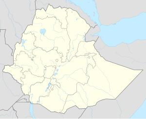
Metemma
| Metemma | |
|---|---|
| Location in Ethiopia | |
| Coordinates: 12°58′N 36°12′E / 12.967°N 36.200°E | |
| Country | Ethiopia |
| Region | Amhara Region |
| Zone | Semien Gondar Zone |
| Elevation | 685 m (2,247 ft) |
| Population (2005 est.) | |
| • Total | 5,581 |
| Time zone | EAT (UTC+3) |
Metemma (also known as Metemma Yohannes) is a town in northwestern Ethiopia, on the border with Sudan. Located in the Semien Gondar Zone of the Amhara Region, Metemma has a latitude and longitude of 12°58′N 36°12′E / 12.967°N 36.200°ECoordinates: 12°58′N 36°12′E / 12.967°N 36.200°E with an elevation of 685 meters above sea level. Across the border is the corresponding Sudanese village of Gallabat. According to the British diplomat Hormuzd Rassam, who travelled through Metemma in November 1865 on his diplomatic mission to Emperor Tewodros II, "Metemma" comes from the Arabic for "the place of cutting, or termination -- indicating the end of the Muslim provinces", although at the time the settlement was better known as Suk ul-Gallabat ("The market of Gallabat").
Metemma hosts an airport, (ICAO code HAMM, IATA ETE).
...
Wikipedia

