Marden Henge

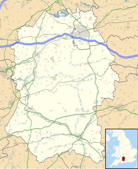
Map of Marden Henge
|
|
| Location |
Marden, Wiltshire grid reference SU091582 |
|---|---|
| Coordinates | Coordinates: 51°19′24″N 1°52′16″W / 51.3233°N 1.8712°W |
| Type | Henge |
| History | |
| Periods | Neolithic |
Marden Henge (also known as Hatfield Earthworks) is the largest Neolithic henge enclosure discovered to date in the United Kingdom. The monument is located in Marden, Wiltshire, situated within the Vale of Pewsey between the World Heritage sites of Avebury and Stonehenge.
It is roughly oval in shape, and is enclosed by a typical bank and internal ditch arrangement constructed on the east, north and north-west sides and by the River Avon to the south and west. It encompasses an area of 14 hectares (35 acres), and is under the care of English Heritage. Antiquarian accounts of the site describe a huge mound within the enclosure called Hatfield Barrow, which collapsed after excavation by William Cunnington in the early 19th century. Today, Marden Henge has been damaged by ploughing, and no longer has any standing stones.
Around 1 kilometre to the south, archaeologists have detected the presence of another henge known as Wilsford Henge.
The area was designated as a scheduled monument in 1953. The site was excavated by Geoff Wainwright in 1969; he excavated the north entrance and found a timber circle, and Grooved ware pottery, similar to Durrington Walls. The finds are at Wiltshire Museum in Devizes, where there is also a small display.
In 2010, the henge and surrounding area were investigated through aerial, geophysical, and field survey. During the dig, a Neolithic building was discovered, described as the best preserved Neolithic building in England.
...
Wikipedia

