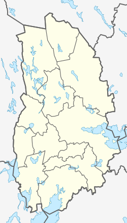
Lindesberg
| Lindesberg | |
|---|---|

Kungsgatan in Lindesberg
|
|
| Coordinates: 59°35′N 15°15′E / 59.583°N 15.250°ECoordinates: 59°35′N 15°15′E / 59.583°N 15.250°E | |
| Country | Sweden |
| Province | Västmanland |
| County | Örebro County |
| Municipality | Lindesberg Municipality |
| Area | |
| • Total | 7.82 km2 (3.02 sq mi) |
| Population (31 December 2010) | |
| • Total | 9,149 |
| • Density | 1,170/km2 (3,000/sq mi) |
| Time zone | CET (UTC+1) |
| • Summer (DST) | CEST (UTC+2) |
| Website | lindesberg.se |
Lindesberg is a locality and the seat of Lindesberg Municipality, Örebro County, Sweden with 9,149 inhabitants in 2010.
Lindesberg has centuries old history, being the center of an old mining district. The earliest known traces of a town are in the foundations of the 14th century stone church. That town was however known as Lindesås. It got its charter and current name in 1643, granted by Queen Christina, making it one of the now defunct Cities of Sweden. The name lind means the linden tree (Br. Eng. lime tree), which is why the coat of arms depicts a tree. The mining district Lindesberg was mentioned on the 16th century grand map Carta Marina.
Between 1996 and 2007, the Augustibuller punk festival has been held in Lindesberg. The festival attracts more visitors each year and some of the bands who have played are Desmond Dekker, Charged GBH, Bad Manners, Napalm Death and The Perishers.
Due to low number of visitors in 2007, the planning for a 2008 festival begun late and did not attract enough people to buy tickets. This eventually led to cancelation of 2008 festival, and later bankruptcy for the non-profit organization behind the festival. No more festivals were held after 2007.
...
Wikipedia


