La Pryor, Texas
| La Pryor, Texas | |
|---|---|
| CDP | |

Zavala County Bank in La Pryor, Texas
|
|
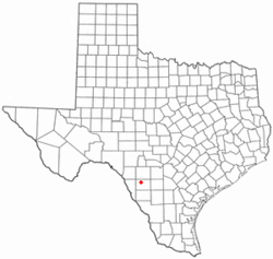
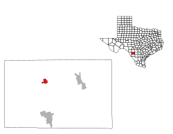
 Location of La Pryor, Texas |
|
 |
|
| Coordinates: 28°56′38″N 99°50′40″W / 28.94389°N 99.84444°WCoordinates: 28°56′38″N 99°50′40″W / 28.94389°N 99.84444°W | |
| Country | United States |
| State | Texas |
| County | Zavala |
| Area | |
| • Total | 2.7 sq mi (6.9 km2) |
| • Land | 2.7 sq mi (6.9 km2) |
| • Water | 0.0 sq mi (0.0 km2) |
| Elevation | 745 ft (227 m) |
| Population (2010) | |
| • Total | 1,643 |
| • Density | 610/sq mi (240/km2) |
| Time zone | Central (CST) (UTC-6) |
| • Summer (DST) | CDT (UTC-5) |
| ZIP code | 78872 |
| Area code(s) | 830 |
| FIPS code | 48-41452 |
| GNIS feature ID | 1360810 |
La Pryor (/lə ˈpraɪ.ər/ lə PRY-er) is a census-designated place (CDP) in Zavala County, Texas, United States. The population was 1,643 at the 2010 census.
The town is named for Col. Isaac (Ike) T. Pryor, who in the 1880s owned a ranch that included the site of the community.
The Nueces River crosses U.S. Highway 83 north of La Pryor.
The community has within its limits branches of the Texas Department of Transportation and the Zavala County Bank.
La Pryor is located at 28°56′38″N 99°50′40″W / 28.94389°N 99.84444°W (28.943879, -99.844349).
According to the United States Census Bureau, the CDP has a total area of 2.7 square miles (6.9 km²), all of it land.
...
Wikipedia
