Kullu
|
Kullu कुल्लू |
|
|---|---|
| Town | |
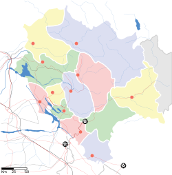
| Location in Himachal Pradesh, India | |
| Coordinates: 31°35′N 77°06′E / 31.58°N 77.10°ECoordinates: 31°35′N 77°06′E / 31.58°N 77.10°E | |
| Country |
|
| State | Himachal Pradesh |
| District | Kullu |
| Government | |
| • Type | Democratic |
| • Zonal Headquarters | Kullu |
| Elevation | 1,279 m (4,196 ft) |
| Population (2011) | |
| • Total | 18,306 (10th) |
| Languages | |
| • Official | Hindi |
| Time zone | IST (UTC+5:30) |
| PIN | 175101 |
| Telephone code | 01902 |
| Vehicle registration | HP 34 HP 66 |
| Sex ratio | 1.17 (1000/852) ♂/♀ |
| Website | www.hpkullu.gov.in |
Kullu or Kulu is the capital town of the Kullu district in the Indian state of Himachal Pradesh. It is located on the banks of the Beas River in the Kullu Valley about 10 kilometres (6.2 mi) north of the airport at Bhuntar.
Kullu is a broad open valley formed by the Beas River between Manali and Largi. This valley is famous for its temples, beauty and its majestic hills covered with pine and deodar forest and sprawling apple orchards. The course of the Beas river presents a succession of magnificent, clad with forests of deodar, towering above trees of pine on the lower rocky ridges. Kullu valley is sandwiched between the Pir Panjal, Lower Himalayan and Great Himalayan Ranges.
Historical references about the Kullu valley dates back to ancient Hindu literary works of Ramayana, Mahabharata and the Puranas. During Vedic period several small republics known as "Janapada" existed which were later conquered by the Nanda Empire, Mauryan Empire, Gupta Empire, Pala Dynasty and Karkoṭa Empire. After a brief period of supremacy by King Harshavardhana, the region was once again divided into several local powers headed by chieftains, including some Rajput principalities, these principalities were later conquered by Maratha Empire and Sikh Empire.
...
Wikipedia


