Krasny Kut, Saratov Oblast
| Krasny Kut (English) Красный Кут (Russian) |
|
|---|---|
| - Town - | |
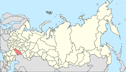
 Location of Saratov Oblast in Russia |
|
|
|
|
|
|
|
| Administrative status (as of 2013) | |
| Country | Russia |
| Federal subject | Saratov Oblast |
| Administrative district | Krasnokutsky District |
| Administrative center of | Krasnokutsky District |
| Municipal status (as of May 2013) | |
| Municipal district | Krasnokutsky Municipal District |
| Urban settlement | Krasny Kut Urban Settlement |
| Administrative center of | Krasnokutsky Municipal District, Krasny Kut Urban Settlement |
| Statistics | |
| Population (2010 Census) | 14,416 inhabitants |
| Time zone | SAMT (UTC+04:00) |
| Founded | 1837 |
| Town status since | 1966 |
| Postal code(s) | 413230–413235 |
| Dialing code(s) | +7 84560 |
| on | |
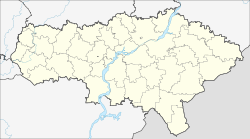
Krasny Kut (Russian: Кра́сный Кут, lit. beautiful place) is a town and the administrative center of Krasnokutsky District in Saratov Oblast, Russia, located on the right bank of the Yeruslan River (Volga's tributary), 117 kilometers (73 mi) southeast of Saratov, the administrative center of the oblast. Population: 14,416 (2010 Census);15,334 (2002 Census);17,495 (1989 Census).
It was founded in 1837 by Ukrainian migrants and was granted town status in 1966.
Cosmonaut Gherman Titov landed near Krasny Kut at the end of his Vostok 2 mission on August 7, 1961.
Within the framework of administrative divisions, Krasny Kut serves as the administrative center of Krasnokutsky District, to which it is directly subordinated. As a municipal division, the town of Krasny Kut, together with two rural localities, is incorporated within Krasnokutsky Municipal District as Krasny Kut Urban Settlement.
...
Wikipedia

