Kalpa, Himachal Pradesh
| Kalpa | |
|---|---|
| city | |
 |
|
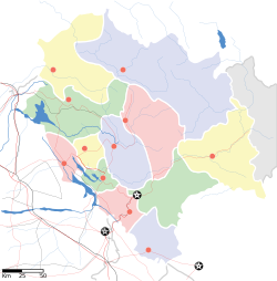
| Location in Himachal Pradesh, India | |
| Coordinates: 31°32′N 78°15′E / 31.53°N 78.25°ECoordinates: 31°32′N 78°15′E / 31.53°N 78.25°E | |
| Country |
|
| State | Himachal Pradesh |
| District | Kinnaur |
| Elevation | 2,960 m (9,710 ft) |
| Languages | |
| • Official | Hindi |
| Time zone | IST (UTC+5:30) |
| PIN | 172108 |
Kalpa is a small town in the Sutlej river valley, above Recong Peo in the Kinnaur district of Himachal Pradesh, Northern India, in the Indian Himalaya. Inhabited by Kinnauri people and famous for its apple orchards. Apples are a major cash-crop for the region. The local inhabitants follow a syncretism of Hinduism and Buddhism, and many temples in Kalpa are dedicated to both Hindu and Buddhist gods and goddesses. The average literacy rate of Kalpa is around 83.75%.One of the famous music director of Himachal Pradesh,Surender Negi, is from Kalpa. India's first ever voter Shyam Saran Negi also belongs to Kalpa.
Kalpa is at 31°32′N 78°15′E / 31.53°N 78.25°E. It has an average elevation of 2,960 metres (9,711 feet). It is located 265 kilometres (165 mi) beyond Shimla on the NH-22 in Kinnaur district. It is located at the base of the Kinnaur Kailash snow-capped ranges. The Shivling peaks rise up to 20,000 feet (6,000 m). Kalpa is among apple orchards, pine-nut forests and the stately deodhars. It is above the town of Reckong Peo, the district headquarters of Kinnaur, which has a hundred-year-old Buddhist monastery.
...
Wikipedia


