Glenrowan, Victoria
|
Glenrowan Victoria |
|
|---|---|

Main street of Glenrowan
|
|
| Coordinates | 36°28′0″S 146°14′0″E / 36.46667°S 146.23333°ECoordinates: 36°28′0″S 146°14′0″E / 36.46667°S 146.23333°E |
| Population | 963 (2011 census) |
| Postcode(s) | 3675 |
| Location |
|
| LGA(s) | Rural City of Wangaratta |
| State electorate(s) | Ovens Valley |
| Federal Division(s) | Indi |
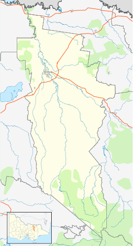
Glenrowan is a small town located in the Wangaratta local government area of Victoria, Australia. It is 236 kilometres north-east of Melbourne and 14 kilometres from Wangaratta and near the Warby Ranges and Mount Glenrowan. At the 2011 census, Glenrowan had a population of 963.
Glenrowan was named after farmers James and George Rowan who ran farms in the area between 1846 and 1858. The township was settled in the late 1860s, the Post Office opening on 22 February 1870. It is famous for the bushranger Ned Kelly, who made his last stand and was eventually captured there in 1880 after a siege and shootout with police. The local railway station opened in 1874 and closed to passengers in 1981.
Glenrowan is a popular rest point for those travelling on the Hume Freeway. In the township of Glenrowan, off the highway, tourists can rest, walk and examine the famous Kelly siege sites.
The town has an Australian rules football team competing in the Ovens & King Football League.
Though a very small locality many books on the Kelly Gang's final siege at Glenrowan exist. Though many works discuss land selection, social conflict etc., they all have many details, photos, maps, sketches and facts about 1880 Glenrowan, its railway, the two hotels, and planned train derailment.
...
Wikipedia

