Gezer
| גֶּזֶר | |

The Gezer High Place with massebot and basin
|
|
| Alternate name | Tel Gezer |
|---|---|
| Location |
|
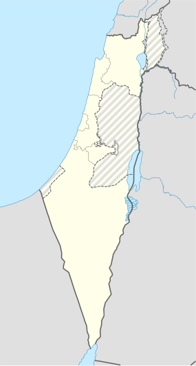
| Coordinates | 31°51′32.4″N 34°55′8.4″E / 31.859000°N 34.919000°ECoordinates: 31°51′32.4″N 34°55′8.4″E / 31.859000°N 34.919000°E |
| Site notes | |
| Condition | Ruin |
| Siege of Gezer | |||||||
|---|---|---|---|---|---|---|---|
|
|||||||
| Belligerents | |||||||
| Egypt | Philistines | ||||||
| Commanders and leaders | |||||||
| Siamun (?) | Unknown | ||||||
| Strength | |||||||
| Unknown | Unknown | ||||||
| Casualties and losses | |||||||
| Unknown | Many killed | ||||||
Gezer, or Tel Gezer (Hebrew: גֶּזֶר)(also Tell el-Jezer) is an archaeological site in the foothills of the Judaean Mountains at the border of the Shfela region roughly midway between Jerusalem and Tel Aviv. It is now an Israeli national park. In the Hebrew Bible, Gezer is associated with Joshua and Solomon.
It became a major fortified Canaanite city-state in the first half of the 2nd millennium BCE. It was later destroyed by fire and rebuilt. The Amarna letters mention kings of Gezer swearing loyalty to the Egyptian Pharaoh. Its importance was due in part to the strategic position it held at the crossroads of the ancient coastal trade route linking Egypt with Syria, Anatolia and Mesopotamia, and the road to Jerusalem and Jericho, both important trade routes.
Discoveries related to biblical archaeology include: a probable Canaanite high place with ten monumental megaliths (up-ended stones, each of which is called a masseba or matseva, plural massebot/matsevot; such are found elsewhere in Israel, but the Gezer massebot are the most impressive examples); a double cave beneath the high place, but predating and not connected to it; 13 inscribed boundary stones, making it the first positively identified biblical city; a six-chambered gate similar to those found at Hazor and Megiddo; and a large Canaanite water system comprising a tunnel going down to a spring, similar to those found in Jerusalem, Hazor and Megiddo.
...
Wikipedia

