Garadice Lough
| Garadice Lough Loch Fionnmhaí |
|
|---|---|
 |
|
| Location | County Leitrim |
| Coordinates | 54°2′52″N 7°43′5″W / 54.04778°N 7.71806°WCoordinates: 54°2′52″N 7°43′5″W / 54.04778°N 7.71806°W |
| Primary inflows | Shannon–Erne Waterway |
| Primary outflows | Shannon–Erne Waterway |
| Catchment area | 183.91 km2 (71.0 sq mi) |
| Basin countries | Ireland |
| Max. width | 3 km (2 mi) |
| Surface area | 3.89 km2 (1.50 sq mi) |
| Average depth | 5 m (16 ft) |
| Max. depth | 20 m (66 ft) |
| Surface elevation | 49 m (161 ft) |
| Islands | 3 |
| References | |
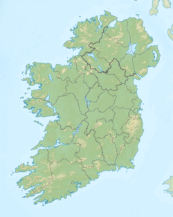
Garadice Lough (Irish: Loch Guth Ard Deas (meaning The South Lake of the High Voice), also known as Garadice Lake or Lough Garadice, is a freshwater lake in the northwest of Ireland. It is located in south County Leitrim and is now part of the Shannon–Erne Waterway.
Garadice Lough is located 8 kilometres (5 mi) east of Ballinamore. It is about 3 km (2 mi) wide from west to east and covers an area of 3.89 square kilometres (1.5 sq mi). The lake has three islands, two of which are named: Church Island and Cherry Island (Irish- Cloch-inse-na-dtorc).
Garadice Lough now forms part of the Shannon–Erne Waterway. Its inflow was formerly named the Yellow River and the outflow was the Woodford River.
Fish present in Garadice Lough include tench, roach, bream and pike. Large pike have been caught here weighing 10 kg (22 lb) or more.
The water quality was reported to be satisfactory c. 2001 – c. 2003 with a mesotrophic rating, improving to oligotrophic status c. 2004 – c. 2006, before dropping back to mesotrophic rating c. 2007 – c. 2009.Zebra mussel infestation is present. The ecology of Garadice Lough, and other Irish waterways, remains threatened by curly waterweed, and freshwater clam invasive species.
...
Wikipedia

