Eisenhüttenstadt
| Eisenhüttenstadt | ||
|---|---|---|

View over Eisenhüttenstadt
|
||
|
||
| Coordinates: 52°08′42″N 14°40′22″E / 52.14500°N 14.67278°ECoordinates: 52°08′42″N 14°40′22″E / 52.14500°N 14.67278°E | ||
| Country | Germany | |
| State | Brandenburg | |
| District | Oder-Spree | |
| Government | ||
| • Mayor | Dagmar Püschel (The Left) | |
| Area | ||
| • Total | 63.40 km2 (24.48 sq mi) | |
| Population (2015-12-31) | ||
| • Total | 30,416 | |
| • Density | 480/km2 (1,200/sq mi) | |
| Time zone | CET/CEST (UTC+1/+2) | |
| Postal codes | 15890 | |
| Dialling codes | 03364 | |
| Vehicle registration | LOS | |
| Website | www.eisenhuettenstadt.de | |
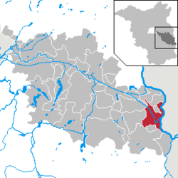
Eisenhüttenstadt (literally "ironworks city" in German; [ʔaɪznˈhʏtnʃtat]) is a town in the Oder-Spree district of the state of Brandenburg, Germany, on the border with Poland. It had a population of 32,214 as of 31 December 2008.
The town was founded in 1950 (under the name Stalinstadt) alongside a new steel mill as a socialist model city. A few years before the town was established a bridge over the Oder River was constructed, which was destroyed by retreating German forces in February 1945, near the end of World War II. The population grew rapidly in the 1950s and 1960s. In 1961, during De-Stalinization, the town was renamed Eisenhüttenstadt. After German reunification in 1990, the state-owned steel works were privatized, and most of its 12,000 employees lost their jobs. The factory currently employs around 2,500 workers. The town experienced a steep decline in population, from just over 50,000 to under 30,000 today.
Development of Population since 1875 within the Current Boundaries (Blue Line: Population; Dotted Line: Comparison to Population Development of Brandenburg state; Grey Background: Time of Nazi rule; Red Background: Time of Communist rule)
Recent Population Development (Blue Line) and Forecasts
The first design for the new residential quarter was developed by the modernist and Bauhaus architect, Franz Ehrlich, in August 1950. His modernist plan, which laid out a dispersed town landscape along functional lines, was rejected by the Ministry for Reconstruction. The same happened to the plan presented by the architects Kurt Junghanns and Otto Geiler. The plan that was ultimately realized was developed by Kurt Walter Leucht.
...
Wikipedia


