Edson, Wisconsin
| Edson, Wisconsin | |
|---|---|
| Town | |
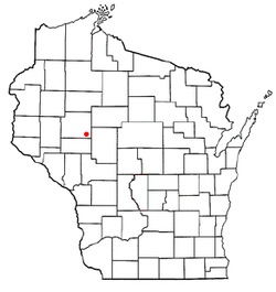
 Location of Edson, Wisconsin |
|
| Coordinates: 44°55′27″N 91°0′23″W / 44.92417°N 91.00639°W | |
| Country | United States |
| State | Wisconsin |
| County | Chippewa |
| Area | |
| • Total | 54.0 sq mi (139.8 km2) |
| • Land | 53.9 sq mi (139.7 km2) |
| • Water | 0.04 sq mi (0.1 km2) |
| Elevation | 1,056 ft (322 m) |
| Population (2010) | |
| • Total | 1,089 |
| • Density | 20/sq mi (7.8/km2) |
| Time zone | Central (CST) (UTC-6) |
| • Summer (DST) | CDT (UTC-5) |
| Area code(s) | 715 & 534 |
| FIPS code | 55-22750 |
| GNIS feature ID | 1583135 |
| PLSS township | T28N R5W and east half of T28N R6W |
Edson is a town in Chippewa County in the U.S. state of Wisconsin. The population was 1,089 at the 2010 census, up from 966 at the 2000 census. The unincorporated community of Edson is located in the town.
The 6-by-6-mile (10 by 10 km) squares that became Delmar were first surveyed in the fall of 1848 by crews working for the U.S. government. In September 1853 another crew marked all the section corners of the eastern six by six square, walking the woods and swamps on foot, measuring with chain and compass. When done, the deputy surveyor filed this general description:
This Township contains but few Swamps has a Surface but slightly rolling with a good Soil & excellent timber throughout the whole Township. The Streams are Small except one in the NW of the Township which has(?) Marshy banks & sluggish current, & also a stream passing through the Eastern portions of Sections 1, 12, 25 & 36. There are no improvements in the Township except a lumberman's Cabin near the Center of Section 36.
Edson is located in the southeast corner of Chippewa County and is bordered by Clark County to the east and Eau Claire County to the south. The town has the shape of a rectangle, 9 miles (14 km) east to west and 6 miles (10 km) north to south. According to the United States Census Bureau, the town has a total area of 54.0 square miles (139.8 km2), of which 53.9 square miles (139.7 km2) is land and 0.04 square miles (0.1 km2), or 0.09%, is water.
As of the census of 2000, there were 966 people, 309 households, and 259 families residing in the town. The population density was 17.9 people per square mile (6.9/km²). There were 322 housing units at an average density of 6.0 per square mile (2.3/km²). The racial makeup of the town was 98.14% White, 0.10% Asian, and 1.76% from two or more races. Hispanic or Latino of any race were 0.72% of the population.
...
Wikipedia
