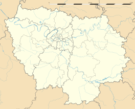
Courdimanche
| Courdimanche | ||
|---|---|---|

The water tower in Courdimanche is visible from miles around
|
||
|
||
| Coordinates: 49°02′07″N 2°00′08″E / 49.0353°N 2.0022°ECoordinates: 49°02′07″N 2°00′08″E / 49.0353°N 2.0022°E | ||
| Country | France | |
| Region | Île-de-France | |
| Department | Val-d'Oise | |
| Arrondissement | Pontoise | |
| Canton | L'Hautil | |
| Intercommunality | Cergy-Pontoise | |
| Government | ||
| • Mayor (2001–2008) | Monique Hervé | |
| Area1 | 5.54 km2 (2.14 sq mi) | |
| Population (2006)2 | 6,605 | |
| • Density | 1,200/km2 (3,100/sq mi) | |
| Time zone | CET (UTC+1) | |
| • Summer (DST) | CEST (UTC+2) | |
| INSEE/Postal code | 95183 /95800 | |
| Elevation | 95–160 m (312–525 ft) | |
|
1 French Land Register data, which excludes lakes, ponds, glaciers > 1 km² (0.386 sq mi or 247 acres) and river estuaries. 2Population without double counting: residents of multiple communes (e.g., students and military personnel) only counted once. |
||
1 French Land Register data, which excludes lakes, ponds, glaciers > 1 km² (0.386 sq mi or 247 acres) and river estuaries.
Courdimanche is a commune in the Val-d'Oise department in Île-de-France in northern France.
Schools in the commune include:
Lycée Jules Verne is in nearby Cergy-le-Haut in Cergy.
...
Wikipedia


