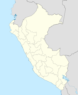
Coropuna
| Coropuna | |
|---|---|
 |
|
| Highest point | |
| Elevation | 6,377 m (20,922 ft) |
| Coordinates | 15°33′S 72°39′W / 15.550°S 72.650°WCoordinates: 15°33′S 72°39′W / 15.550°S 72.650°W |
| Geography | |
| Parent range | Andes |
| Geology | |
| Age of rock | Miocene-Holocene |
| Mountain type | Volcano |
| Volcanic arc | Central Volcanic Zone |
| Last eruption | 1,100 ± 100 BP |
Coropuna is a dormantvolcano in the southern Peruvian Andes and belonging to the Central Volcanic Zone; its summit reaches an altitude of 6,377 metres (20,922 feet) above sea level. The volcano, located 155 kilometres (96 miles) from Arequipa, is mostly made of lava flows on a basement formed by Miocene ignimbrites. Coropuna has been active for at least five million years, with the bulk of the current cone having formed during the Pliocene–.
The volcano is covered by a thick ice cap, the second largest in the tropics, that has existed since at least the Pliocene and has undergone several phases of expansion and reduction. As of 2016[update], the ice cap is in retreat; one estimate predicts that it will disappear by 2045. The retreat of the Coropuna glaciers threatens the water supply of tens of thousands of people, and interaction between volcanic activity and glacial effects has generated mudflows that could be a hazard to surrounding populations if the mountain returns to volcanic activity.
The mountain was considered sacred by the Inca, and a number of archaeological sites have been discovered there. The Inca built the highest irrigation system in the world on Coropuna.
Part of the Cordillera Ampato, it is Peru's largest and highest volcano. Coropuna is located south of the Pucuncho basin in the Peruvian Andes and 110 kilometres (68 mi) away from the Pacific coast. Neighbouring volcanoes are the 5,498-metre (18,038 ft) Firura (15°14′S 72°48′W / 15.233°S 72.800°W) and the 6,093-metre (19,990 ft) Solimana (15°24′S 72°52′W / 15.400°S 72.867°W). Firura is a structure with two dome shaped summits, while Solimana features a caldera and a high, glacially affected topography. Another volcano, Ampato, lies 85 kilometres (53 mi) southeast.
...
Wikipedia

