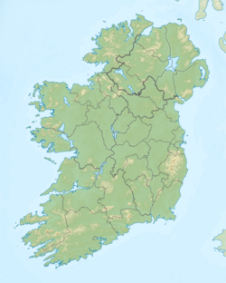
Carrickaport Lough
| Carrickaport Lough Carraig an Phoirt Loch |
|
|---|---|
| Location | County Leitrim |
| Coordinates | 54°1′48″N 7°58′58″W / 54.03000°N 7.98278°WCoordinates: 54°1′48″N 7°58′58″W / 54.03000°N 7.98278°W |
| Lake type | Freshwater |
| Basin countries | Ireland |
| Surface area | 0.46 km2 (0.18 sq mi) |
| Max. depth | 7 m (23 ft) |
| Surface elevation | 63 m (207 ft) |
| Islands | 1 |
| References | |
Carrickaport lough (Irish: Carraig an Phoirt, meaning "rocks of the bog [port, a bog here]") is a freshwater lake in Kiltubrid parish, south County Leitrim, northwest Ireland. Drumcong village, and Lough Scur, lie nearby. Carrickaport lough is known for quality bream and pike fishing. The ecology of Carrickaport lough, and other Leitrim waterways, is threatened by curly waterweed, zebra mussel, and freshwater clam invasive species.
The lake takes its name from the bordering townland of "Carrickaport" (Irish: Carraig an Phoirt), meaning the "rock of the port (or fort, or bank)".
Carrickaport lough is located due west of the Drumcong village and Lough Scur, in county Leitrim, Ireland. The lake has an hourglass shape with a surface-area of about 0.46 square kilometres (0.2 sq mi), and depths of 7 metres (23.0 ft). The level of Carrickaport lough is about 1 foot (0.3 m) higher than Lough Scur, and a small stream of 500 metres (1,640.4 ft) length running through Drumcong connects both lakes. Carrickaport lough is surrounded by high lands and bounded by the townlands of Drumbullog, Corderry (Morton), Carrickaport, Mullaghycullen, Drumcong, and Roscarban. The subsrate consists of rock (15%), cobble (70%), gravel (10%) and sand (5%).
...
Wikipedia

