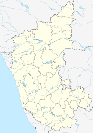
Bidar Fort
| Bidar Fort | |
|---|---|
| Part of Bidar | |
| Bidar, India | |

Bidar Fort
|
|
 |
|
| Coordinates | 17°55′28″N 77°31′36″E / 17.92444°N 77.52667°E |
| Type | Fort |
| Site information | |
| Controlled by | Government of Karnataka |
| Open to the public |
Yes |
| Condition | Ruins |
| Site history | |
| Built | 15th Century CE |
| Built by | Ala-ud-din Bahman of Bahmani Sultanate in 1424 |
| Materials | Laterite and lime mortar |
Bidar Fort (Kannada ಬೀದರ್ ಕೋಟೆ, Urdu قلعہ بیدر) is situated in Bidar city of the northern plateau of Karnataka, India. The fort, the city and the district are all affixed with the name Bidar. Sultan Alla-Ud Din Bahman of the Bahmanid Dynasty shifted his capital from Gulbarga to Bidar in 1427 and built his fort along with a number of Islamic monuments. There are over 30 monuments inside Bidar fort.
Bidar city and fort are located on the edge of the Bidar platueau, the northernmost in Karnataka state. The plateau area, comprising low laterite hills, ends to the north at the Manjira River, a major tributary of the Godavari River. The Karanja River, a sub-tributary, drains the surrounding low-lying areas and feeds into the Manjiri River. Bidar district comprises the only part of the Godavari basin in Karnataka.
Geologically, Bidar district is predominantly Deccan Trap with underlying layers of gneiss emerging along the eastern boundary. The plateau has an altitude of 2,200 feet (670 m), and measures 22 miles (35 km) in length and 12 miles (19 km) in width at its broadest. The plateau encompasses a total area of 190 square kilometres (73 sq mi). Bidar fort is built in the form of an irregular rhombus on the edge of the plateau with sheer walls built along the North and the East.
The ancient capital Kalyani (Basavakalyan) of the Western Chalukya Empire is situated about 40 miles (64 km) to the west of Bidar.
Bidar fort was built by Ahmad Shah wali Bahman; the exact layout of the old fort, with its double lines of defensive fortifications, is no longer discernible. Folklore suggests that the old fort was located in the western portion of the fort's present-day extent, from the Takht Mahal to the Kalmadgi gate and the promontory on which Virasangayya's temple was built, with the old water tank at the base of its walls. This is confirmed in historical record in Tarikh-i Firishta, by the Persian scholar Firishta (1560-1620 CE), which states that the Government House or Darul Imara, today known as Takht Mahal, was built on the site of the old fort.
...
Wikipedia

