Walata
|
Oualata ولاته |
|
|---|---|
| Commune and town | |

View of the town looking in a southeasterly direction
|
|
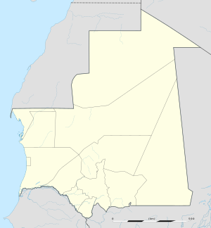
| Location in Mauritania | |
| Coordinates: 17°18′00″N 7°01′30″W / 17.3°N 7.025°WCoordinates: 17°18′00″N 7°01′30″W / 17.3°N 7.025°W | |
| Country |
|
| Region | Hodh Ech Chargui |
| Population (2000) | |
| • Total | 11,779 |
| Official name | Ancient Ksour of Ouadane, Chinguetti, Tichitt and Oualata |
| Type | Cultural |
| Criteria | iii, iv, v |
| Designated | 1996 (20th session) |
| Reference no. | 750 |
| State Party |
|
| Region | Arab States |
Oualata or Walata (Arabic: ولاته) (also Biru in 17th century chronicles) is a small oasis town in southeast Mauritania, located at the eastern end of the Aoukar basin. Oualata was important as a caravan city in the thirteenth and fourteenth centuries as the southern terminus of a trans-Saharan trade route and now it is a World Heritage Site.
Oualata is believed to have been first settled by an agro-pastoral people akin to the Mandé Soninke people who lived along the rocky promontories of the Tichitt-Oualata and Tagant cliffs of Mauritania facing the Aoukar basin. There, they built what are among the oldest stone settlements on the African continent.
The town formed part of the Ghana Empire and grew wealthy through trade. At the beginning of the thirteenth century Oualata replaced Aoudaghost as the principal southern terminus of the trans-Saharan trade and developed into an important commercial and religious centre. By the fourteenth century the city had become part of the Mali Empire.
An important trans-Saharan route began at Sijilmasa and passed through Taghaza with its salt mines and ended at Oualata.
Moroccan explorer Ibn Battuta found the inhabitants of Oualata were Muslim and mainly Massufa, a section of the Sanhaja. He was surprised by the great respect and independence that women enjoyed. He only gives a brief description of the town itself: "My stay at Iwalatan (Oualata) lasted about fifty days; and I was shown honour and entertained by its inhabitants. It is an excessively hot place, and boasts a few small date-palms, in the shade of which they sow watermelons. Its water comes from underground waterbeds at that point, and there is plenty of mutton to be had." Timothy Cleaveland's contends, "Ibn Battuta’s account leaves no doubt that the town was still dominated by ‘black’ Mande-speaking peoples." The town's original Mande name Biru had already shifted to the Berber Iwalatan, a reflection of the changing identity of the residents. This would change again with the town's Arabization, and the development of the current name, Walata.
...
Wikipedia

