Travis Air Force Base
| Travis Air Force Base | |
|---|---|
| Part of Air Mobility Command (AMC) | |
| Located near: Fairfield, California | |

C-17 Globemaster III taxiing at Travis AFB
|
|
| Coordinates | 38°15′46″N 121°55′39″W / 38.26278°N 121.92750°W |
| Site information | |
| Controlled by |
|
| Site history | |
| Built | 1942 |
| In use | 1942 – present |
| Garrison information | |
| Garrison |
|
| Airfield information | |||||||||||||||||||
|---|---|---|---|---|---|---|---|---|---|---|---|---|---|---|---|---|---|---|---|
| Summary | |||||||||||||||||||
| Elevation AMSL | 63 ft / 19 m | ||||||||||||||||||
| Coordinates | 38°15′46″N 121°55′39″W / 38.26278°N 121.92750°WCoordinates: 38°15′46″N 121°55′39″W / 38.26278°N 121.92750°W | ||||||||||||||||||
| Website | http://www.travis.af.mil | ||||||||||||||||||
| Map | |||||||||||||||||||
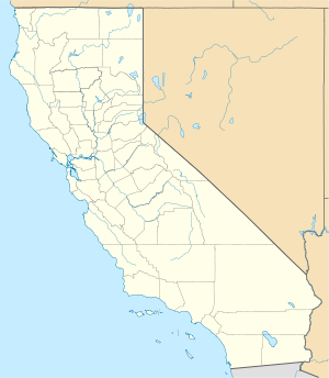
| Location of Travis Air Force Base | |||||||||||||||||||
| Runways | |||||||||||||||||||
|
|||||||||||||||||||
Travis Air Force Base (IATA: SUU, ICAO: KSUU, FAA LID: SUU) is a United States Air Force air base under the operational control of the Air Mobility Command (AMC), located three miles (5 km) east of the central business district of Fairfield, in Solano County, California, United States. The base is named for Brigadier General Robert F. Travis, who died in the crash of a B-29 Superfortress while transporting a nuclear weapon.
The host unit at Travis AFB is the 60th Air Mobility Wing. The 60th AMW is the largest wing in the Air Force's Air Mobility Command, with a versatile fleet of C-5 Galaxies, KC-10 Extenders, and C-17 Globemaster III aircraft.
Components of the 60th AMW are:
Situated in the San Francisco Bay Area and known as the "Gateway to the Pacific", Travis Air Force Base handles more cargo and passenger traffic through its airport than any other military air terminal in the United States. Today, Travis AFB includes approximately 7,260 active USAF military personnel, 4,250 Air Force Reserve personnel and 3,770 civilians.
...
Wikipedia


