Tonopah Test Range Airport
| Tonopah Test Range Airport | |
|---|---|
| Part of Air Combat Command (ACC) | |
| Tonopah Test Range, Nevada | |

Tonopah Test Range Airport, 1990, when the USAF 37th Tactical Fighter Wing was stationed at the airport, note the F-117A Nighthawk hangars. Today, these hangars are used for long term storage of the Nighthawk stealth fighter
|
|
| Type | Military Airfield |
| Site information | |
| Condition | Active |
| Site history | |
| Built | 1950s |
| Built by | 1950s–present |
| Airfield Information | |||||||||||
|---|---|---|---|---|---|---|---|---|---|---|---|
| Summary | |||||||||||
| Elevation AMSL | 5,549 ft / 1,691 m | ||||||||||
| Coordinates | 37°47′41″N 116°46′43″W / 37.79472°N 116.77861°WCoordinates: 37°47′41″N 116°46′43″W / 37.79472°N 116.77861°W | ||||||||||
| Map | |||||||||||
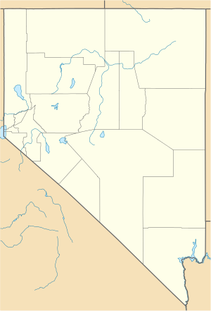
| Location of Tonopah Test Range Airport | |||||||||||
| Runways | |||||||||||
|
|||||||||||
|
Source: Federal Aviation Administration
|
|||||||||||
Tonopah Test Range Airport (IATA: XSD, ICAO: KTNX, FAA LID: TNX), at the Tonopah Test Range (Senior Trend project site PS-66) is 27 NM (50 km; 31 mi) southeast of Tonopah, Nevada and 140 mi (230 km) northwest of Las Vegas, Nevada. It is a major airfield with a 12,000 ft × 150 ft (3,658 m × 46 m) runway, instrument approach facilities, and nighttime illumination. The facility boasts over fifty hangars and an extensive support infrastructure.
Tonopah is owned by the USAF Air Combat Command. The known primary use of this airport is to shuttle government employees to the weapons test range from McCarran International Airport in Las Vegas.
The primary (paved) access to the facility is off of U.S. Route 6 at the north end of the airport. Dirt road access points also exist on the south and east sides of the range. The site is plainly visible from commercial airliners, which pass 17 NM (31 km; 20 mi) north of the base on transcontinental flights.
The Tonopah Range Airport first opened in 1957, supporting operations on the Test Range itself, which was used for United States Atomic Energy Commission (AEC, later Department of Energy or DOE)) funded nuclear weapon programs. It was apparently not a World War II era field, as it is not listed in the 1944 US Army/Navy Directory of Airfields. Eventually, the installation and its 6,000 ft asphalt runway was abandoned. The area was open range, with wild horses running free.
...
Wikipedia

