Timboon, Victoria
|
Timboon Victoria |
|
|---|---|

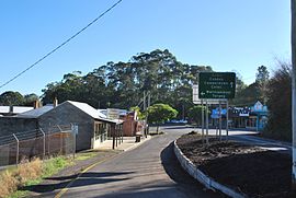
Entering Timboon from the Port Campbell road
|
|
| Coordinates | 38°29′0″S 142°58′0″E / 38.48333°S 142.96667°ECoordinates: 38°29′0″S 142°58′0″E / 38.48333°S 142.96667°E |
| Population | 871 (2006 census) |
| Postcode(s) | 3268 |
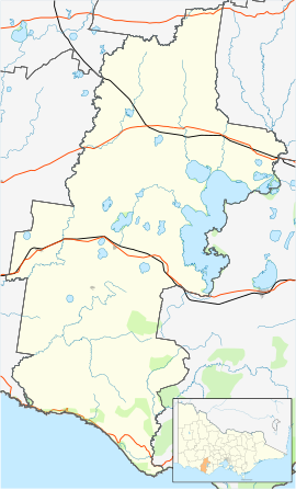
| Location |
|
| LGA(s) | Corangamite Shire |
| State electorate(s) | Polwarth |
| Federal Division(s) | Wannon |
Timboon /tᵻmˈbuːn, ˈtɪmbən/ is a town in the Western District of Victoria, Australia. The town is in the Shire of Corangamite local government area, approximately 213 kilometres (132 mi) south-west of the state capital, Melbourne. At the 2001 census, Timboon had a population of 787. At the 2006 census, Timboon had a population of 871.
The main industries are dairying, forestry, and the production of lime.
The Port Fairy railway line was opened in 1887, followed by a branch from Camperdown to Timboon that opened in 1892 and closed in 1986. The local railway station is now closed. The Post Office in the township opened on 7 March 1887. Two earlier offices named Timboon were opened in the area, one open from 1849 to 1852, the second, opening in 1853, was renamed Camperdown in 1854.
Children from the district attend Timboon P-12 School, previously known as Timboon Consolidated School.
The town also has a hall for the local cub scouts, scouts and venturers. During heavy winters, the road to the bridge floods over.
The town has a number of small businesses including an IGA Supermarket, Home Timber and Hardware store, post office, chemist, newsagent, clothing stores, a baker, hairdresser, Commonwealth and National Australia banks, and a laundromat. There are also a few local farming-related businesses that provide the local farmers with their services.
...
Wikipedia

